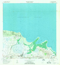
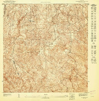
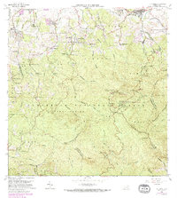
1963 Map of Rio Grande
USGS Topo · Published 1971About this map
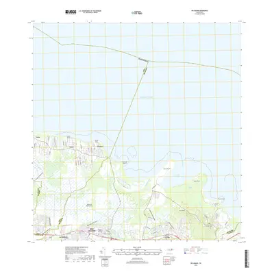
The town of Río Grande sits at the nexus of the coastal lowlands and the northern foothills of Puerto Rico, documented here in the early 1960s. The landscape is defined by the winding paths of the Río Herrera and Río Espíritu Santo, which flow through expansive wetlands like Ciénaga Baja before reaching the Atlantic Ocean. This era shows a community in transition, where traditional infrastructure like the Via Del Ferrocarril rail corridor and agricultural barrios like Jiménez and Guzmán Abajo meet newer developments such as the Pista de Aterrizaje near the coast.
Find a feature on this map
58 named features on this map. Tap any name to fly to it.
Don’t see what you’re looking for? This feature index may not catch every label — zoom into the map to look around manually.
Map Details
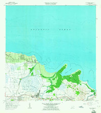
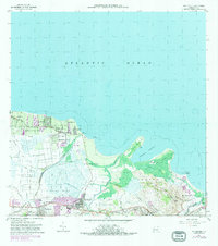
Editions of this 1963 Rio Grande Map
4 editions found
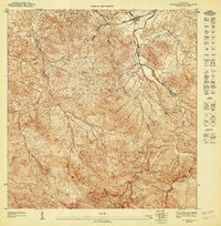
Historical Maps of Río Grande Through Time
20 maps found

1941 Rio Grande
Río Grande Municipio, PR

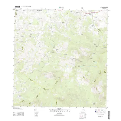
1945 El Yunque
Río Grande Municipio, PR

1946 El Yunque
Río Grande Municipio, PR
1947 El Yunque NE
Río Grande Municipio, PR
1947 El Yunque NO
Río Grande Municipio, PR
1947 El Yunque SO
Río Grande Municipio, PR
1947 Rio Grande
Río Grande Municipio, PR

1949 Rio Grande SO
Río Grande Municipio, PR

1950 Rio Grande SE
Río Grande Municipio, PR

1952 El Yunque
Río Grande Municipio, PR

1956 Rio Grande
Río Grande Municipio, PR

1958 El Yunque
Río Grande Municipio, PR
1963 Rio Grande
Río Grande Municipio, PR
1967 El Yunque
Río Grande Municipio, PR
2013 El Yunque
Río Grande Municipio, PR
2013 Rio Grande
Río Grande Municipio, PR
2018 El Yunque
Río Grande Municipio, PR
2018 Rio Grande
Río Grande Municipio, PR

2024 El Yunque
Río Grande Municipio, PR

2024 Rio Grande
Río Grande Municipio, PR