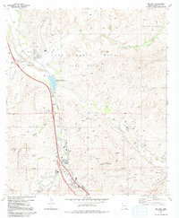
1981 Map of Rio Rico
USGS Topo · Published 1992About this map
The Luis Maria Baca (Float No 3) land grant dominates the high desert terrain north of Nogales, providing a stark geographic backdrop for the winding Santa Cruz River. This 1981 record documents a landscape defined by centuries of layering, from the Spanish colonial presence at Guevavi Mission (Ruins) and the Calabasas (Site) to the burgeoning suburban development of Rio Rico. The southern portion of the map is punctuated by the industrial scars of the Patagonia Mountains, where mining sites like the Columbia Mine and Uncle Sam Mine mark the mineral-rich slopes of Mt Benedict. The convergence of Sonoita Creek and Potrero Creek with the Santa Cruz creates a riparian corridor that has historically dictated settlement patterns, evidenced by the presence of large cattle operations like Guevavi Ranch and Santa Fe Ranch along the riverbanks.
Find a feature on this map
40 named features on this map. Tap any name to fly to it.
Don’t see what you’re looking for? This feature index may not catch every label — zoom into the map to look around manually.
Map Details
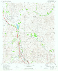
Editions of this 1981 Rio Rico Map
2 editions found
Other maps of this area

1904 · Patagonia
USGS Topo · 1:125,000

1905 · Patagonia
USGS Topo · 1:125,000

1905 · Nogales
USGS Topo · 1:125,000

1920 · Arivaca
USGS Topo · 1:125,000

1921 · Old Glory
USGS Topo · 1:125,000

1922 · Agus Caliente
USGS Topo · 1:62,500

1933 · Calabasas
USGS Topo · 1:62,500

1939 · Tubac
USGS Topo · 1:62,500

1942 · Ruby
USGS Topo · 1:62,500

1943 · Old Glory
USGS Topo · 1:125,000