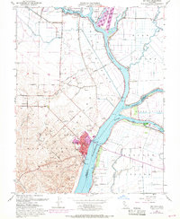
1953 Map of Rio Vista
USGS Topo · Published 1969About this map
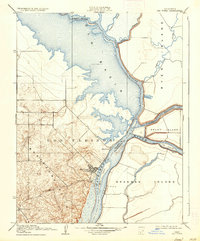
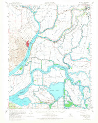
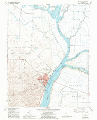
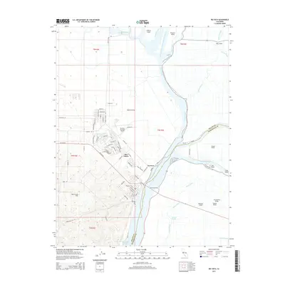
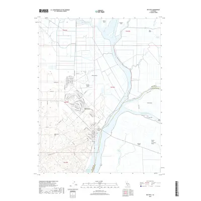
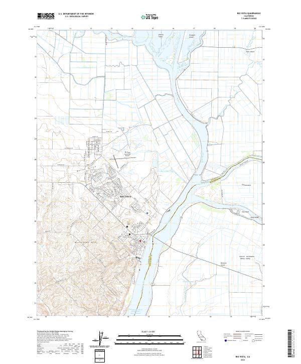
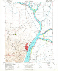
Rio Vista sits at a critical hydraulic junction in the California Delta, where the Sacramento River meets a complex network of sloughs and man-made waterways. This 1953 survey, updated with 1968 photorevisions, illustrates the engineering required to manage the massive seasonal flows of the Central Valley. The wide Yolo Bypass dominates the central landscape, designed to divert floodwaters away from downstream cities. To the north, the Sacramento River Deep Water Ship Channel carves a straight path through the delta, contrasting with the sinuous curves of Cache Slough and Steamboat Slough. The Montezuma Hills rise to the west, dotted with gas wells and windmills, overlooking the low-lying agricultural tracts of Ryer Island and Grand Island. These islands, protected by an extensive levee system, reflect the region's long history of land reclamation and river-borne commerce.
Find a feature on this map
30 named features on this map. Tap any name to fly to it.
Don’t see what you’re looking for? This feature index may not catch every label — zoom into the map to look around manually.
Map Details
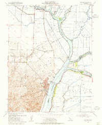
Editions of this 1953 Rio Vista Map
3 editions found
Historical Maps of Rio Vista Through Time
8 maps found