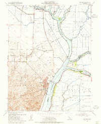
1953 Map of Rio Vista
USGS Topo · Published 1955About this map
Rio Vista sits at the heart of this mid-century landscape where the Sacramento River meets a complex network of delta waterways. The geography is defined by extensive island tracts including Grand Island, Ryer Island, and Brannan Island, all vital to the regional agricultural and levee systems. To the west, the Montezuma Hills rise above the alluvial plains, providing a stark topographical contrast to the low-lying Yolo By Pass.
Find a feature on this map
26 named features on this map. Tap any name to fly to it.
Don’t see what you’re looking for? This feature index may not catch every label — zoom into the map to look around manually.
Map Details
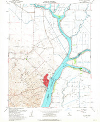
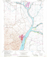
Editions of this 1953 Rio Vista Map
3 editions found
Other maps of this area

1907 · Antioch
USGS Topo · 1:62,500

1908 · Vacaville
USGS Topo · 1:62,500

1908 · Courtland
USGS Topo · 1:62,500

1908 · Antioch
USGS Topo · 1:62,500

1910 · Rio Vista
USGS Topo · 1:31,680

1910 · Bouldin
USGS Topo · 1:31,680

1910 · Jersey
USGS Topo · 1:31,680

1910 · Isleton
USGS Topo · 1:31,680

1916 · Cache Slough
USGS Topo · 1:31,680

1916 · Vorden
USGS Topo · 1:31,680