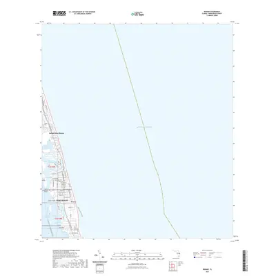
2021 Map of Riomar
USGS Topo · Published 2021About this map
Indian River Shores and the coastal neighborhoods of Vero Beach occupy this narrow barrier island strip during the early 2020s. This survey illustrates the intricate residential development patterns that define the modern Florida shoreline, where neighborhoods like Riomar are integrated with the natural geography of the Indian River Lagoon. The map details the vital connections between the mainland and the coast, primarily anchored by the Merrill P Barber Bridge and the Intracoastal Waterway.
Find a feature on this map
57 named features on this map. Tap any name to fly to it.
Don’t see what you’re looking for? This feature index may not catch every label — zoom into the map to look around manually.
Map Details
Editions of this 2021 Riomar Map
This is the sole edition of this map. No revisions or reprints were ever made.
Other maps of this area

1948 · Riomar
USGS Topo · 1:24,000

1948 · Indrio
USGS Topo · 1:24,000

1949 · Vero Beach
USGS Topo · 1:24,000

1949 · Sebastian
USGS Topo · 1:24,000

1949 · Oslo
USGS Topo · 1:24,000

1950 · Riomar
USGS Topo · 1:24,000

1950 · Oslo
USGS Topo · 1:24,000

1950 · Indrio
USGS Topo · 1:24,000

1950 · Vero Beach
USGS Topo · 1:24,000

1951 · Sebastian
USGS Topo · 1:24,000