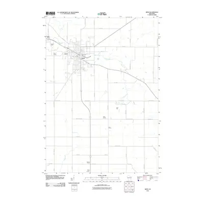
2010 Map of Ripon
USGS Topo · Published 2010About this map
Ripon is the central hub of this Wisconsin landscape, where the confluence of local roads and the waters of Silver Creek shaped the settlement pattern. The town's infrastructure is anchored by the Ripon Dam and the central Ripon Post Office, with residential pockets like Arcade Acres and Arcade Glen extending to the northwest. This 2010 survey reflects a deeply rooted community, where numerous historical burial grounds such as Saint Patricks Cemetery and Woodlawn Cemetery preserve the names of early residents.
Find a feature on this map
47 named features on this map. Tap any name to fly to it.
Don’t see what you’re looking for? This feature index may not catch every label — zoom into the map to look around manually.
Map Details
Editions of this 2010 Ripon Map
This is the sole edition of this map. No revisions or reprints were ever made.
Other maps of this area

1916 · Ripon
USGS Topo · 1:48,000

1918 · Ripon
USGS Topo · 1:62,500

1955 · Waupun
USGS Topo · 1:62,500

1955 · Fox Lake
USGS Topo · 1:62,500

1956 · Ripon
USGS Topo · 1:62,500

1956 · Rosendale
USGS Topo · 1:62,500

1957 · Madison
USGS Topo · 1:250,000

1960 · Madison
USGS Topo · 1:250,000

1975 · Waupun NW
USGS Topo · 1:24,000

1980 · Fond Du Lac
USGS Topo · 1:100,000