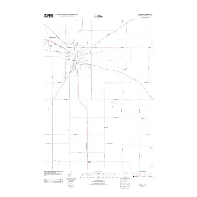
2013 Map of Ripon
USGS Topo · Published 2013About this map
The city of Ripon serves as the focal point of this Fond du Lac County landscape, where the urban grid meets the agricultural reaches of East-Central Wisconsin. The city's geography is defined by the winding course of Silver Creek, which feeds into the Gothic Millpond near the town center. To the northwest, residential developments such as Arcade Acres and Arcade Glen expand the community footprint toward the silver-toned waters of Silver Creek.
Find a feature on this map
79 named features on this map. Tap any name to fly to it.
Don’t see what you’re looking for? This feature index may not catch every label — zoom into the map to look around manually.
Map Details
Editions of this 2013 Ripon Map
This is the sole edition of this map. No revisions or reprints were ever made.
Other maps of this area

1916 · Ripon
USGS Topo · 1:48,000

1918 · Ripon
USGS Topo · 1:62,500

1955 · Waupun
USGS Topo · 1:62,500

1955 · Fox Lake
USGS Topo · 1:62,500

1956 · Ripon
USGS Topo · 1:62,500

1956 · Rosendale
USGS Topo · 1:62,500

1957 · Madison
USGS Topo · 1:250,000

1960 · Madison
USGS Topo · 1:250,000

1975 · Waupun NW
USGS Topo · 1:24,000

1980 · Fond Du Lac
USGS Topo · 1:100,000