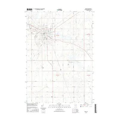
2015 Map of Ripon
USGS Topo · Published 2015About this map
Ripon serves as the central hub of this Wisconsin landscape, where the campus of Ripon Coll and the adjacent downtown streets meet the waters of the Gothic Millpond and Ripon Pond. This survey details the transition from the city's dense residential grid to the surrounding agricultural prairie, punctuated by several historical burial sites including Saint Patricks Cem, Woodlawn Cem, and the small Swatz Family Plot. To the south and west, the terrain opens into Round Prairie and follows the winding course of the Grand River. In the outlying areas, small settlements and geographical markers like Arcade Glen and Scott Hill define the rural character of Fond du Lac County. The hydrography is notably complex, with numerous wetlands and spring-fed features such as Silver Spring feeding into Silver Cr and Dakin Cr.
Find a feature on this map
93 named features on this map. Tap any name to fly to it.
Don’t see what you’re looking for? This feature index may not catch every label — zoom into the map to look around manually.
Map Details
Editions of this 2015 Ripon Map
This is the sole edition of this map. No revisions or reprints were ever made.
Other maps of this area

1916 · Ripon
USGS Topo · 1:48,000

1918 · Ripon
USGS Topo · 1:62,500

1955 · Waupun
USGS Topo · 1:62,500

1955 · Fox Lake
USGS Topo · 1:62,500

1956 · Ripon
USGS Topo · 1:62,500

1956 · Rosendale
USGS Topo · 1:62,500

1957 · Madison
USGS Topo · 1:250,000

1960 · Madison
USGS Topo · 1:250,000

1975 · Waupun NW
USGS Topo · 1:24,000

1980 · Fond Du Lac
USGS Topo · 1:100,000