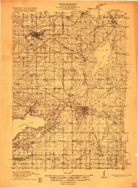
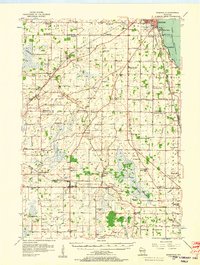
1916 Map of Ripon
USGS Topo · Published 1916About this map
Berlin and Ripon serve as the primary hubs of activity in this World War I-era Wisconsin survey, where the regional economy was defined by the intersection of major rail lines and navigable waterways. The Chicago Milwaukee and St Paul and Chicago and Northwestern railroads crisscross the landscape, linking the productive farm districts and rural hamlets like Koro and Waukau to larger markets. Along the Fox River, the Eureka Lock stands as a notable navigation landmark near the settlement of Eureka.
Find a feature on this map
70 named features on this map. Tap any name to fly to it.
Don’t see what you’re looking for? This feature index may not catch every label — zoom into the map to look around manually.
Map Details
Editions of this 1916 Ripon Map
This is the sole edition of this map. No revisions or reprints were ever made.
Other maps of this area
1915 · Neshkoro
USGS Topo · 1:48,000
1918 · Neshkoro
USGS Topo · 1:62,500
1918 · Ripon
USGS Topo · 1:62,500
1955 · Randolph
USGS Topo · 1:62,500
1955 · Waupun
USGS Topo · 1:62,500
1955 · Fox Lake
USGS Topo · 1:62,500

1955 · Green Bay
USGS Topo · 1:250,000
1956 · Ripon
USGS Topo · 1:62,500
1956 · Rosendale
USGS Topo · 1:62,500

1957 · Madison
USGS Topo · 1:250,000
Featured Places
- Ripon, WI
- Berlin, City of Berlin
- City of Berlin, WI
- Green Lake, City of Green Lake
- City of Green Lake, WI