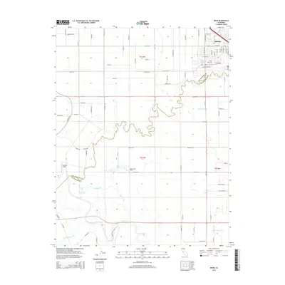
2015 Map of Ripon
USGS Topo · Published 2015About this map
The Stanislaus River meanders sharply across this landscape, defining the boundary between San Joaquin and Stanislaus counties. The city of Ripon occupies the northeastern corner, shown here during a period of modern residential expansion near the river's edge. South of the city, the terrain is characterized by a complex network of irrigation and water infrastructure, including the Hetch Hetchy Aqueduct and numerous canals like Lateral Number Six.
Find a feature on this map
89 named features on this map. Tap any name to fly to it.
Don’t see what you’re looking for? This feature index may not catch every label — zoom into the map to look around manually.
Map Details
Editions of this 2015 Ripon Map
This is the sole edition of this map. No revisions or reprints were ever made.
Other maps of this area

1913 · Romain
USGS Topo · 1:31,680

1914 · Manteca
USGS Topo · 1:31,680

1914 · Avena
USGS Topo · 1:31,680

1915 · Vernalis
USGS Topo · 1:31,680

1915 · Lathrop
USGS Topo · 1:31,680

1915 · Ripon
USGS Topo · 1:31,680

1915 · Westport
USGS Topo · 1:31,680

1915 · Westley
USGS Topo · 1:31,680

1915 · Salida
USGS Topo · 1:31,680

1916 · Romain
USGS Topo · 1:31,680