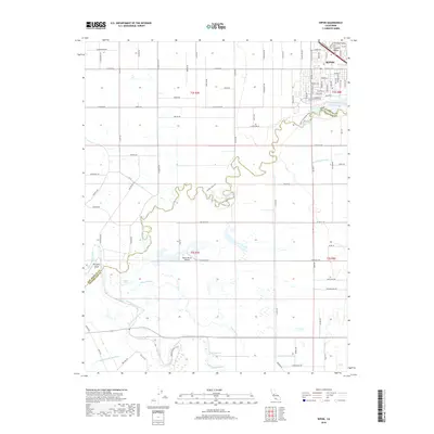
2018 Map of Ripon
USGS Topo · Published 2018About this map
The city of Ripon anchors the northeastern corner of this modern survey, where the Central Valley landscape meets the winding course of the Stanislaus River. This waterway defines the boundary between San Joaquin Co and Stanislaus Co, creating a riparian corridor rich with recreational paths like the Ripon-Stanislaus River Trl and the Hidden Lake Trl. To the southwest, the San Joaquin River meanders through a complex network of wetlands and minor channels, including Riley Slough and Finnegan Cut.
Find a feature on this map
96 named features on this map. Tap any name to fly to it.
Don’t see what you’re looking for? This feature index may not catch every label — zoom into the map to look around manually.
Map Details
Editions of this 2018 Ripon Map
This is the sole edition of this map. No revisions or reprints were ever made.
Other maps of this area

1913 · Romain
USGS Topo · 1:31,680

1914 · Manteca
USGS Topo · 1:31,680

1914 · Avena
USGS Topo · 1:31,680

1915 · Vernalis
USGS Topo · 1:31,680

1915 · Lathrop
USGS Topo · 1:31,680

1915 · Ripon
USGS Topo · 1:31,680

1915 · Westport
USGS Topo · 1:31,680

1915 · Westley
USGS Topo · 1:31,680

1915 · Salida
USGS Topo · 1:31,680

1916 · Romain
USGS Topo · 1:31,680