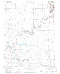
1969 Map of Ripon
USGS Topo · Published 1980About this map
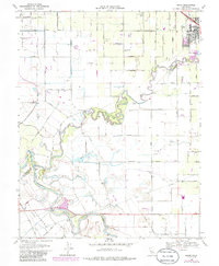
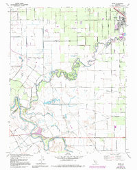
The Stanislaus River meanders through the heart of this Central Valley landscape, defining the border between San Joaquin Co and Stanislaus Co. Near the northern edge, the town of Ripon sits adjacent to the Southern Pacific railroad line, showing a concentrated grid of streets and local infrastructure like the High Sch and Sewage Disposal ponds. The surrounding agricultural territory is dominated by a complex network of irrigation laterals, including Lateral No 6 and Lateral No 7, supporting the orchards and fields that define the regional economy.
Find a feature on this map
44 named features on this map. Tap any name to fly to it.
Don’t see what you’re looking for? This feature index may not catch every label — zoom into the map to look around manually.
Map Details
Editions of this 1969 Ripon Map
6 editions found
Other maps of this area

1913 · Romain
USGS Topo · 1:31,680

1914 · Manteca
USGS Topo · 1:31,680

1914 · Avena
USGS Topo · 1:31,680

1915 · Vernalis
USGS Topo · 1:31,680

1915 · Lathrop
USGS Topo · 1:31,680

1915 · Ripon
USGS Topo · 1:31,680

1915 · Westport
USGS Topo · 1:31,680

1915 · Westley
USGS Topo · 1:31,680

1915 · Salida
USGS Topo · 1:31,680

1916 · Romain
USGS Topo · 1:31,680