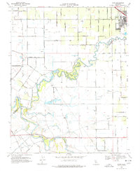
1969 Map of Ripon
USGS Topo · Published 1977About this map
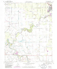
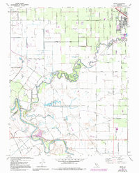
The town of Ripon serves as a northern anchor for this Central Valley landscape, situated along the northern bank of the Stanislaus River. The river forms a meandering boundary between San Joaquin and Stanislaus counties, its winding course defined by sharp oxbows and natural features like Sutton Bend. Dense riparian vegetation is preserved within Caswell Memorial State Park, where the river's loops create a distinct habitat amidst the surrounding agricultural grid.
Find a feature on this map
38 named features on this map. Tap any name to fly to it.
Don’t see what you’re looking for? This feature index may not catch every label — zoom into the map to look around manually.
Map Details
Editions of this 1969 Ripon Map
6 editions found
Other maps of this area

1913 · Romain
USGS Topo · 1:31,680

1914 · Manteca
USGS Topo · 1:31,680

1914 · Avena
USGS Topo · 1:31,680

1915 · Vernalis
USGS Topo · 1:31,680

1915 · Lathrop
USGS Topo · 1:31,680

1915 · Ripon
USGS Topo · 1:31,680

1915 · Westport
USGS Topo · 1:31,680

1915 · Westley
USGS Topo · 1:31,680

1915 · Salida
USGS Topo · 1:31,680

1916 · Romain
USGS Topo · 1:31,680