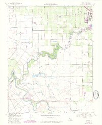
1969 Map of Ripon
USGS Topo · Published 1980About this map
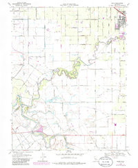
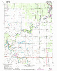
The Stanislaus River and San Joaquin River converge in this agricultural landscape of the late 1960s, defining a region where water management and farming are deeply intertwined. The town of Ripon is the primary settlement, showing the compact residential grid and a High School as it stood before significant late-20th-century expansion. This map illustrates the complex hydrology of the valley, from the sprawling curves of Caswell Memorial State Park to the rigid lines of the Hetch Hetchy Aqueduct and numerous irrigation channels like Lateral No 6. Local history is preserved through features such as the San Joaquin Sch and family-named routes like Mohler Road and Tinnin Road. Notable riverine features, including Sturgeon Bend, Miller Lake, and Riley Slough, reveal the natural drainage patterns that have long influenced property lines and land use in this part of San Joaquin County.
Find a feature on this map
80 named features on this map. Tap any name to fly to it.
Don’t see what you’re looking for? This feature index may not catch every label — zoom into the map to look around manually.
Map Details
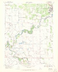
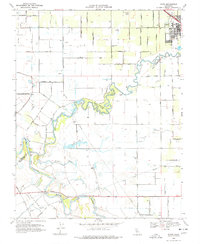
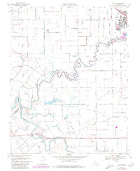
Editions of this 1969 Ripon Map
6 editions found
Other maps of this area

1913 · Romain
USGS Topo · 1:31,680

1914 · Manteca
USGS Topo · 1:31,680

1914 · Avena
USGS Topo · 1:31,680

1915 · Vernalis
USGS Topo · 1:31,680

1915 · Lathrop
USGS Topo · 1:31,680

1915 · Ripon
USGS Topo · 1:31,680

1915 · Westport
USGS Topo · 1:31,680

1915 · Westley
USGS Topo · 1:31,680

1915 · Salida
USGS Topo · 1:31,680

1916 · Romain
USGS Topo · 1:31,680