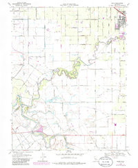
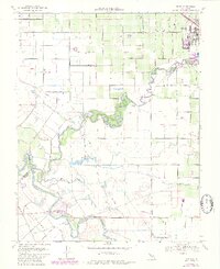
1969 Map of Ripon
USGS Topo · Published 1986About this map
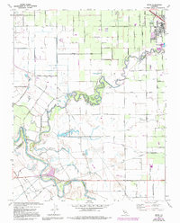
The Stanislaus River and San Joaquin River converge in this fertile valley landscape during the late 1960s, a region defined by complex hydrology and intensive agriculture. The town of Ripon sits at the northeastern corner, anchored by the Southern Pacific railroad and a grid of rural routes like Almondwood Drive and Ripon Road. To the south, the landscape is marked by the winding river bends of Caswell Memorial State Park and the engineering of the Hetch Hetchy Aqueduct, which cuts across the territory to transport water from the Sierras.
Find a feature on this map
43 named features on this map. Tap any name to fly to it.
Don’t see what you’re looking for? This feature index may not catch every label — zoom into the map to look around manually.
Map Details
Editions of this 1969 Ripon Map
6 editions found
Other maps of this area

1913 · Romain
USGS Topo · 1:31,680

1914 · Manteca
USGS Topo · 1:31,680

1914 · Avena
USGS Topo · 1:31,680

1915 · Vernalis
USGS Topo · 1:31,680

1915 · Lathrop
USGS Topo · 1:31,680

1915 · Ripon
USGS Topo · 1:31,680

1915 · Westport
USGS Topo · 1:31,680

1915 · Westley
USGS Topo · 1:31,680

1915 · Salida
USGS Topo · 1:31,680

1916 · Romain
USGS Topo · 1:31,680