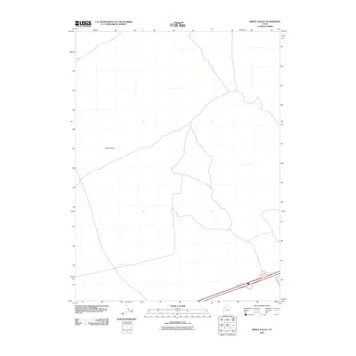
2010 Map of Ripple Valley
USGS Topo · Published 2010About this map
Ripple Valley stretches across this portion of Tooele County, representing the expansive arid basins characteristic of western Utah. This 2010 survey by the U.S. Geological Survey focuses on the transition between the valley floor and the surrounding high ground, primarily highlighting the infrastructure that facilitates transit through this desert landscape. Modern travel is centered on the southern edge of the sheet, where Frontage Rd parallels a major transportation corridor. The intersection with Hastings Pass Rd provides a historical echo of the old pioneer trails that once navigated these passes. This map serves as a precise record of the road network and terrain contours during the early 21st century, prior to further regional development.
Find a feature on this map
3 named features on this map. Tap any name to fly to it.
Don’t see what you’re looking for? This feature index may not catch every label — zoom into the map to look around manually.
Map Details
Editions of this 2010 Ripple Valley Map
This is the sole edition of this map. No revisions or reprints were ever made.
Other maps of this area

1885 · Tooele Valley
USGS Topo · 1:250,000

1953 · Tooele
USGS Topo · 1:250,000

1955 · Tooele
USGS Topo · 1:250,000

1973 · Ripple Valley
USGS Topo · 1:24,000

1973 · Grassy Mountains
USGS Topo · 1:24,000

1973 · Low
USGS Topo · 1:24,000

1973 · Aragonite NW
USGS Topo · 1:24,000

1973 · Grayback Hills
USGS Topo · 1:24,000

1973 · Finger Ridge
USGS Topo · 1:24,000

1973 · Hastings Pass
USGS Topo · 1:24,000