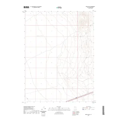
2023 Map of Ripple Valley
USGS Topo · Published 2023About this map
Ripple Valley defines the core of this landscape, situated in the Great Salt Lake Desert region of Tooele County. The topography is dominated by the steep western slopes of the Grassy Mountains, which rise sharply along the eastern edge of the quadrangle. This 2023 survey by the U.S. Geological Survey illustrates a largely uninhabited desert expanse where human activity is primarily limited to a sparse network of county roads and tracks. Transportation routes such as Fremont Ln and Clive Rd cross the basin floor, while several local connectors, including Tc02253 and Tc02255, provide access into the higher elevations. The map reveals the intricate drainage patterns descending from the peaks into the valley bottom, a characteristic desert basin-and-range environment.
Find a feature on this map
7 named features on this map. Tap any name to fly to it.
Don’t see what you’re looking for? This feature index may not catch every label — zoom into the map to look around manually.
Map Details
Editions of this 2023 Ripple Valley Map
This is the sole edition of this map. No revisions or reprints were ever made.
Other maps of this area

1885 · Tooele Valley
USGS Topo · 1:250,000

1953 · Tooele
USGS Topo · 1:250,000

1955 · Tooele
USGS Topo · 1:250,000

1973 · Ripple Valley
USGS Topo · 1:24,000

1973 · Grassy Mountains
USGS Topo · 1:24,000

1973 · Low
USGS Topo · 1:24,000

1973 · Aragonite NW
USGS Topo · 1:24,000

1973 · Grayback Hills
USGS Topo · 1:24,000

1973 · Finger Ridge
USGS Topo · 1:24,000

1973 · Hastings Pass
USGS Topo · 1:24,000