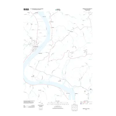
2013 Map of Rising Sun
USGS Topo · Published 2013About this map
The Ohio River carves a sweeping path through this borderland, where the street grid of Rising Sun in Indiana faces the rural landing of Rabbit Hash on the Kentucky shore. This 2013 survey captures a landscape defined by its riverine geography, from the elongated Laughery Island in the north to the broad agricultural expanses of Mexico Bottom and Lower East Bend Bottom downstream. The mapping reveals a mixture of established riverside towns and small upland settlements like Waterloo and Belleview.
Find a feature on this map
100 named features on this map. Tap any name to fly to it.
Don’t see what you’re looking for? This feature index may not catch every label — zoom into the map to look around manually.
Map Details
Editions of this 2013 Rising Sun Map
This is the sole edition of this map. No revisions or reprints were ever made.
Other maps of this area

1914 · West Cincinnati
USGS Topo · 1:62,500

1915 · Lawrenceburg
USGS Topo · 1:48,000

1928 · Lawrenceburg
USGS Topo · 1:62,500

1932 · Lawrenceburg
USGS Topo · 1:62,500

1943 · Florence
USGS Topo · 1:24,000

1943 · Aberdeen
USGS Topo · 1:24,000

1943 · Aurora
USGS Topo · 1:24,000

1943 · Rising Sun
USGS Topo · 1:24,000

1943 · Lawrenceburg
USGS Topo · 1:24,000

1943 · Patriot
USGS Topo · 1:24,000