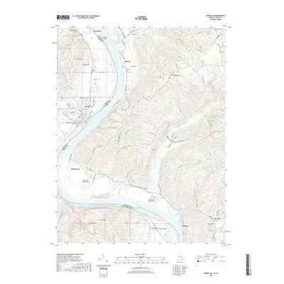
2019 Map of Rising Sun
USGS Topo · Published 2019About this map
Rising Sun anchors this section of the Ohio River, where the town's street grid meets the Riverfront Project and the Rising Sun-Ohio Co Tree Trail. Across the water, the Kentucky shoreline reveals a densely layered landscape of small cemeteries and creek bottoms. This survey documents the transition from the structured town life of Indiana to the rolling farmsteads and rural crossroads of Kentucky settlements like Belleview, Rabbit Hash, and Waterloo.
Find a feature on this map
116 named features on this map. Tap any name to fly to it.
Don’t see what you’re looking for? This feature index may not catch every label — zoom into the map to look around manually.
Map Details
Editions of this 2019 Rising Sun Map
This is the sole edition of this map. No revisions or reprints were ever made.
Other maps of this area

1914 · West Cincinnati
USGS Topo · 1:62,500

1915 · Lawrenceburg
USGS Topo · 1:48,000

1928 · Lawrenceburg
USGS Topo · 1:62,500

1932 · Lawrenceburg
USGS Topo · 1:62,500

1943 · Florence
USGS Topo · 1:24,000

1943 · Aberdeen
USGS Topo · 1:24,000

1943 · Aurora
USGS Topo · 1:24,000

1943 · Rising Sun
USGS Topo · 1:24,000

1943 · Lawrenceburg
USGS Topo · 1:24,000

1943 · Patriot
USGS Topo · 1:24,000