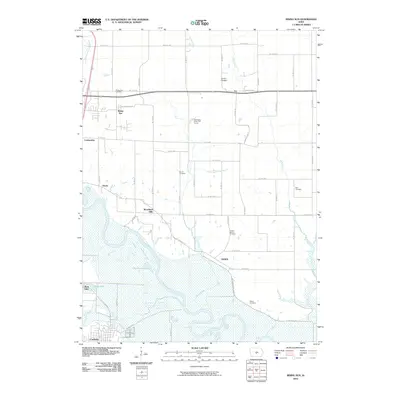
2010 Map of Rising Sun
USGS Topo · Published 2010About this map
Rising Sun and the surrounding Polk County countryside are defined by the convergence of several major waterways and the steady expansion of rural residential areas. The Des Moines River meanders through the southern portion of the quadrangle, joined by the North River and the meandering path of Spring Creek. Historically significant burial grounds are distributed throughout the landscape, including the Rising Sun Cemetery, Stuart Cemetery, and Powers-Warren Cemetery, which serve as physical markers of the area's early families.
Find a feature on this map
60 named features on this map. Tap any name to fly to it.
Don’t see what you’re looking for? This feature index may not catch every label — zoom into the map to look around manually.
Map Details
Editions of this 2010 Rising Sun Map
This is the sole edition of this map. No revisions or reprints were ever made.
Other maps of this area

1905 · Des Moines
USGS Topo · 1:62,500

1907 · Des Moines
USGS Topo · 1:62,500

1910 · Milo
USGS Topo · 1:62,500

1930 · Mitchellville
USGS Topo · 1:62,500

1931 · Indianola
USGS Topo · 1:62,500

1954 · Des Moines
USGS Topo · 1:250,000

1956 · Des Moines
USGS Topo · 1:250,000

1956 · Des Moines SE
USGS Topo · 1:24,000

1956 · Des Moines NE
USGS Topo · 1:24,000

1956 · Des Moines
USGS Topo · 1:62,500