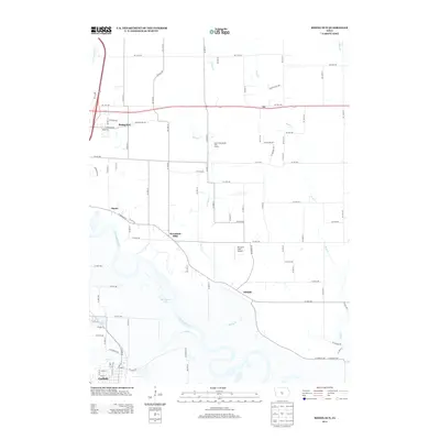
2013 Map of Rising Sun
USGS Topo · Published 2013About this map
The Des Moines River and N River converge in the southern portion of this region, creating a landscape defined by expansive floodplains and winding tributaries. The small settlement of Adelphi sits near the riverbanks, while the unincorporated community of Rising Sun occupies the higher ground to the northwest. Between these points, the topography is shaped by the drainage of Spring Cr and Mud Cr, which flow through a mix of agricultural tracts and developing residential pockets like Woodland Hills.
Find a feature on this map
87 named features on this map. Tap any name to fly to it.
Don’t see what you’re looking for? This feature index may not catch every label — zoom into the map to look around manually.
Map Details
Editions of this 2013 Rising Sun Map
This is the sole edition of this map. No revisions or reprints were ever made.
Other maps of this area

1905 · Des Moines
USGS Topo · 1:62,500

1907 · Des Moines
USGS Topo · 1:62,500

1910 · Milo
USGS Topo · 1:62,500

1930 · Mitchellville
USGS Topo · 1:62,500

1931 · Indianola
USGS Topo · 1:62,500

1954 · Des Moines
USGS Topo · 1:250,000

1956 · Des Moines
USGS Topo · 1:250,000

1956 · Des Moines SE
USGS Topo · 1:24,000

1956 · Des Moines NE
USGS Topo · 1:24,000

1956 · Des Moines
USGS Topo · 1:62,500