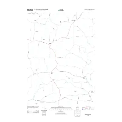
2013 Map of Rising Sun
USGS Topo · Published 2013About this map
Rising Sun and Liberty Pole serve as primary anchors in this section of the Driftless Area, where a series of prominent ridges and deep hollows dictate the layout of Crawford County roads. The terrain is defined by elevated features like Lennon Ridge, McManus Ridge, and Mickelson Ridge, which separate the various watersheds. North-south travel is largely channeled through Wi-27, connecting the small settlements of Fargo and Rising Sun along the high ground. Numerous valleys such as Hanson Valley and Conway Valley are tucked between these ridges, following the paths of waterways like Tainter Cr. Notable landmarks such as Monument Rock stand out against the rural landscape, illustrating the unique geological character of this region. This survey captures a network of local routes, including Monument Rock Rd and Tainter Hollow Rd, which link remote family farms to the established community at Towerville.
Find a feature on this map
71 named features on this map. Tap any name to fly to it.
Don’t see what you’re looking for? This feature index may not catch every label — zoom into the map to look around manually.
Map Details
Editions of this 2013 Rising Sun Map
This is the sole edition of this map. No revisions or reprints were ever made.
Other maps of this area

1903 · Waukon
USGS Topo · 1:125,000

1923 · Viroqua
USGS Topo · 1:62,500

1924 · Gays Mills
USGS Topo · 1:62,500

1926 · Gays Mills
USGS Topo · 1:62,500

1926 · Stoddard
USGS Topo · 1:62,500

1926 · Viroqua
USGS Topo · 1:62,500

1929 · Ferryville
USGS Topo · 1:62,500

1932 · Ferryville
USGS Topo · 1:62,500

1958 · La Crosse
USGS Topo · 1:250,000

1961 · La Crosse
USGS Topo · 1:250,000