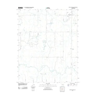
2012 Map of Ritts Junction
USGS Topo · Published 2012About this map
The Deep Fork river meanders through the southern half of this Creek County landscape, where numerous family and community cemeteries speak to the area's deep-rooted rural history. Just north of the river, small settlements and junctions like Aron and Micawber are connected by a network of sectional roads. Local genealogy is well-represented by sites such as Micawber Cem, Hosey Cem, and the Little Creek Church Cem. In the northern section, Ritts Junction serves as a focal point near the headwaters of Salt Cr. The presence of the Salt-Camp Cr Site 10-21 Reservoir and several named tributaries including Pickle Cr and Pettiquah Cr illustrate the complex drainage patterns feeding into the larger river system. This survey documents the intersection of modern infrastructure with historic burial grounds and longstanding community hubs.
Find a feature on this map
45 named features on this map. Tap any name to fly to it.
Don’t see what you’re looking for? This feature index may not catch every label — zoom into the map to look around manually.
Map Details
Editions of this 2012 Ritts Junction Map
This is the sole edition of this map. No revisions or reprints were ever made.
Other maps of this area

1901 · Nuyaka
USGS Topo · 1:125,000

1916 · Bristow
USGS Topo · 1:62,500

1929 · Stroud
USGS Topo · 1:62,500

1931 · Drumright
USGS Topo · 1:62,500

1932 · Stroud
USGS Topo · 1:62,500

1954 · Oklahoma City
USGS Topo · 1:250,000

1957 · Oklahoma City
USGS Topo · 1:250,000

1963 · Oklahoma City
USGS Topo · 1:250,000
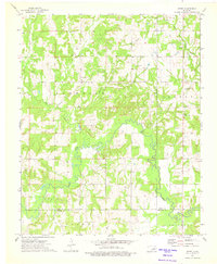
1973 · Gypsy
USGS Topo · 1:24,000
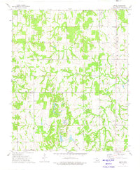
1973 · Welty
USGS Topo · 1:24,000