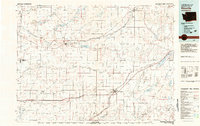
1982 Map of Ritzville
USGS Topo · Published 1983About this map
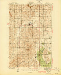
Ritzville serves as a primary hub in this 1982 study of the Washington wheat country, where the Burlington Northern rail line dictates the placement of grain elevators and towns. The landscape is defined by the geological legacy of the Channeled Scablands, evidenced by the deep incisions of Rocky Coulee, Bauer Coulee, and Farrier Coulee. These dry channels contrast with the intricate network of lakes to the northeast, including Coffeepot Lake and Sprague Lake, which provide a distinct hydraulic character to the high desert terrain. The map captures the agricultural infrastructure of the early 1980s, noting the Reich Windmill and various gaging stations along the persistent Crab Creek. Smaller settlements like Odessa and Harrington appear as vital local centers amidst a grid of section lines and gravel pits, reflecting the rural economy of the Inland Empire.
Find a feature on this map
63 named features on this map. Tap any name to fly to it.
Don’t see what you’re looking for? This feature index may not catch every label — zoom into the map to look around manually.
Map Details
Editions of this 1982 Ritzville Map
This is the sole edition of this map. No revisions or reprints were ever made.
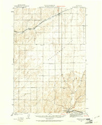
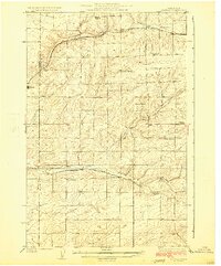
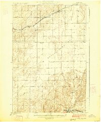
Other maps of this area

1916 · Connell
USGS Topo · 1:125,000

1918 · Connell
USGS Topo · 1:125,000
1923 · Washtucna
USGS Topo · 1:62,500

1923 · Wheeler
USGS Topo · 1:62,500

1924 · Othello
USGS Topo · 1:62,500

1925 · Wheeler
USGS Topo · 1:62,500
1925 · Schrag
USGS Topo · 1:62,500
1925 · Washtucna
USGS Topo · 1:62,500
1945 · Reardan
USGS Topo · 1:62,500
1950 · La Crosse
USGS Topo · 1:62,500