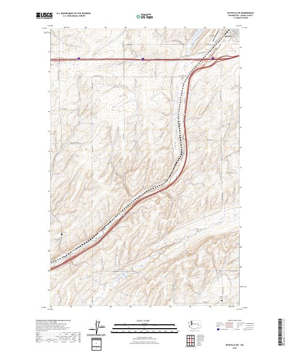
2023 Map of Ritzville SW
USGS Topo · Published 2023About this map
The drylands of Adams County southwest of Ritzville are defined by the dramatic drainage patterns of Paha Coulee and McElroy Coulee. This landscape of the Inland Empire reveals a network of rural roads such as Dewald Rd and Paha Packard Rd that connect isolated settlements and historic sites. The small community of Paha sits at a crossroads, serving as a focal point for researchers looking for the Paha Cem and the nearby Salem Cem.
Find a feature on this map
40 named features on this map. Tap any name to fly to it.
Don’t see what you’re looking for? This feature index may not catch every label — zoom into the map to look around manually.
Map Details
Editions of this 2023 Ritzville SW Map
This is the sole edition of this map. No revisions or reprints were ever made.
Other maps of this area

1916 · Connell
USGS Topo · 1:125,000

1918 · Connell
USGS Topo · 1:125,000

1923 · Washtucna
USGS Topo · 1:62,500

1925 · Washtucna
USGS Topo · 1:62,500

1953 · Walla Walla
USGS Topo · 1:250,000

1953 · Ritzville
USGS Topo · 1:250,000

1958 · Walla Walla
USGS Topo · 1:250,000

1959 · Ritzville
USGS Topo · 1:250,000

1965 · Ritzville
USGS Topo · 1:250,000

1967 · Ritzville SW
USGS Topo · 1:24,000