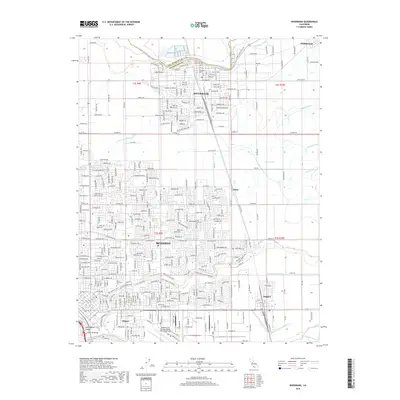
2018 Map of Riverbank
USGS Topo · Published 2018About this map
The Stanislaus River and Tuolumne River define the northern and southern reaches of this Stanislaus County landscape, framing a region of intense agricultural irrigation and suburban expansion. The city of Riverbank sits along the northern riverbank, while the northeastern edge of Modesto occupies the southwest quadrant, showing a complex grid of residential streets and canals. Between these centers, the community of Claus and the Burlington Northern Santa Fe railway represent the transit and shipping corridors essential to the Central Valley.
Find a feature on this map
209 named features on this map. Tap any name to fly to it.
Don’t see what you’re looking for? This feature index may not catch every label — zoom into the map to look around manually.
Map Details
Editions of this 2018 Riverbank Map
This is the sole edition of this map. No revisions or reprints were ever made.
Other maps of this area

1914 · Avena
USGS Topo · 1:31,680

1915 · Oakdale
USGS Topo · 1:31,680

1915 · Westport
USGS Topo · 1:31,680

1915 · Salida
USGS Topo · 1:31,680

1915 · Thalheim
USGS Topo · 1:31,680

1916 · Riverbank
USGS Topo · 1:31,680

1916 · Denair
USGS Topo · 1:31,680

1916 · Waterford
USGS Topo · 1:31,680

1916 · Ceres
USGS Topo · 1:31,680

1939 · Modesto East
USGS Topo · 1:62,500