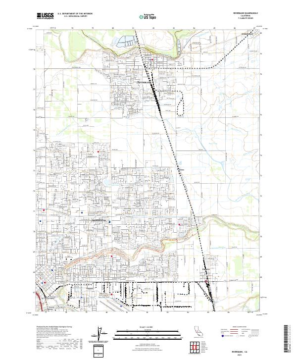
2021 Map of Riverbank
USGS Topo · Published 2021About this map
The Stanislaus River defines the northern boundary of this central California landscape, where the established community of Riverbank serves as a hub for both rail and regional irrigation. The BNSF Railway corridor cuts through the heart of the settlement, underscoring the town's historical connection to the movement of goods and people through the San Joaquin Valley. Moving south toward Modesto, the transition from agricultural land to dense suburban development is evident, marked by numerous local institutions such as St Stanislaus Catholic Church and Davis High School.
Find a feature on this map
168 named features on this map. Tap any name to fly to it.
Don’t see what you’re looking for? This feature index may not catch every label — zoom into the map to look around manually.
Map Details
Editions of this 2021 Riverbank Map
This is the sole edition of this map. No revisions or reprints were ever made.
Other maps of this area

1914 · Avena
USGS Topo · 1:31,680

1915 · Oakdale
USGS Topo · 1:31,680

1915 · Westport
USGS Topo · 1:31,680

1915 · Salida
USGS Topo · 1:31,680

1915 · Thalheim
USGS Topo · 1:31,680

1916 · Riverbank
USGS Topo · 1:31,680

1916 · Denair
USGS Topo · 1:31,680

1916 · Waterford
USGS Topo · 1:31,680

1916 · Ceres
USGS Topo · 1:31,680

1939 · Modesto East
USGS Topo · 1:62,500