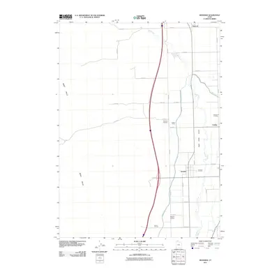
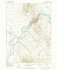
2011 Map of Riverside
USGS Topo · Published 2011About this map
The Bear River Valley floor dominates this part of Box Elder County, where agricultural life is dictated by the winding Malad River and the engineering of the West Canal. Small agricultural settlements like Fielding and Riverside sit along the primary north-south corridors, their proximity to the water source underscoring the irrigation-dependent nature of local farming. The valley is flanked to the west by the West Hills, where the terrain rises sharply into drainage features like Toponce Canyon and Magpie Canyon.
Find a feature on this map
33 named features on this map. Tap any name to fly to it.
Don’t see what you’re looking for? This feature index may not catch every label — zoom into the map to look around manually.
Map Details
Editions of this 2011 Riverside Map
This is the sole edition of this map. No revisions or reprints were ever made.
Other maps of this area

1954 · Brigham City
USGS Topo · 1:250,000

1958 · Brigham City
USGS Topo · 1:250,000

1961 · Thatcher Mountain
USGS Topo · 1:62,500

1961 · Honeyville
USGS Topo · 1:24,000

1961 · Tremonton
USGS Topo · 1:24,000

1962 · Brigham City
USGS Topo · 1:250,000
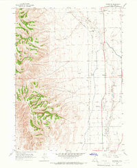
1964 · Riverside
USGS Topo · 1:24,000
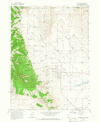
1964 · Clarkston
USGS Topo · 1:24,000
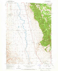
1964 · Portage
USGS Topo · 1:24,000
1964 · Cutler Dam
USGS Topo · 1:24,000