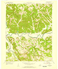
1954 Map of Riverside
USGS Topo · Published 1956About this map
The confluence of the Green River and the Barren River forms the geographical heart of this mid-century survey along the border of Butler and Warren counties. The landscape is defined by its winding waterways and the prominent Pisgah Ridge, which separates small creek valleys where local life centered around rural institutions. Notable landmarks like the Oak Forest Ch and Oak Forest Cem at Riverside serve as anchor points for local family histories, alongside numerous one-room schools such as Leonard Oak Sch and Cedar Grove Sch.
Find a feature on this map
56 named features on this map. Tap any name to fly to it.
Don’t see what you’re looking for? This feature index may not catch every label — zoom into the map to look around manually.
Map Details
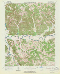
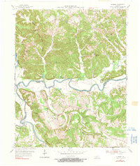
Editions of this 1954 Riverside Map
3 editions found
Other maps of this area

1914 · Little Muddy
USGS Topo · 1:62,500

1922 · Leitchfield
USGS Topo · 1:48,000

1922 · Brownsville
USGS Topo · 1:62,500

1923 · Brownsville
USGS Topo · 1:62,500

1925 · Spring Lick
USGS Topo · 1:62,500

1925 · Leitchfield
USGS Topo · 1:62,500

1953 · Ready
USGS Topo · 1:24,000

1954 · Evansville
USGS Topo · 1:250,000

1954 · Bowling Green North
USGS Topo · 1:24,000

1954 · Welchs Creek
USGS Topo · 1:24,000