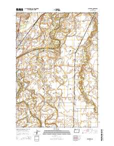
2014 Map of Riverside
USGS Topo · Published 2014About this map
The Willamette River meanders through the fertile valley between Corvallis and Albany, defining a landscape of complex waterways and seasonal islands. This 2014 survey captures a river system characterized by secondary channels and oxbow features such as Half-Moon Bend, Dead River, and Stewart Slough. Large riparian features like Stahlbusch Island and Truax Island sit amidst a network of smaller creeks, including Owl Creek and the Calapooia River. Settlement patterns are largely rural, transitioning from the eastern edge of Corvallis into a plain marked by local landmarks like Twin Oaks Memorial Gardens and the Orleans Cem. The area’s aviation history is visible through small landing strips such as Winn Airport and Holiday Airport, while the agricultural character is reinforced by the presence of numerous drainage features like the Frazier Cr Ditch.
Find a feature on this map
100 named features on this map. Tap any name to fly to it.
Don’t see what you’re looking for? This feature index may not catch every label — zoom into the map to look around manually.
Map Details
Editions of this 2014 Riverside Map
This is the sole edition of this map. No revisions or reprints were ever made.
Other maps of this area

1911 · Tangent
USGS Topo · 1:31,680

1911 · Inavale
USGS Topo · 1:31,680

1912 · Jefferson
USGS Topo · 1:31,680

1912 · Halsey
USGS Topo · 1:62,500

1913 · Philomath
USGS Topo · 1:31,680

1913 · Oakville
USGS Topo · 1:31,680

1913 · Wells
USGS Topo · 1:31,680

1914 · Soap Creek
USGS Topo · 1:31,680

1916 · Albany
USGS Topo · 1:62,500

1921 · Corvallis
USGS Topo · 1:62,500