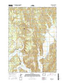
2017 Map of Riverton
USGS Topo · Published 2017About this map
The Coquille River winds through this coastal landscape, defining the low-lying Coquille Valley and creating distinct landforms like Randolph Island. The settlement pattern follows the water and old transport corridors, with small communities such as Riverton, Randolph, and Parkersburg situated near the riverbanks and sloughs. Evidence of earlier industry is visible in the network of secondary roads, including the Old Railroad Grade Rd and Old Beaver Hill Rd near the community of Beaver Hill. Local family history is preserved in several small burial sites tucked away from the main thoroughfares, such as Randolph Cem, Kronenberg Cem, and Russell Cem. These sites, along with features like Caufield Marsh and Beaver Slough, reflect a landscape deeply tied to its hydrology and early twentieth-century logging and transit routes.
Find a feature on this map
79 named features on this map. Tap any name to fly to it.
Don’t see what you’re looking for? This feature index may not catch every label — zoom into the map to look around manually.
Map Details
Editions of this 2017 Riverton Map
This is the sole edition of this map. No revisions or reprints were ever made.
Other maps of this area
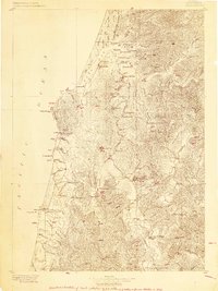
1896 · Coos Bay
USGS Topo · 1:125,000
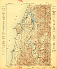
1898 · Coos Bay
USGS Topo · 1:125,000
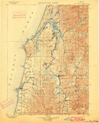
1900 · Coos Bay
USGS Topo · 1:125,000
1942 · Empire
USGS Topo · 1:62,500
1942 · Coquille
USGS Topo · 1:62,500
1942 · Coos Bay
USGS Topo · 1:62,500
1943 · Bandon
USGS Topo · 1:62,500
1944 · Empire
USGS Topo · 1:62,500
1944 · Bandon
USGS Topo · 1:62,500
1945 · Coquille
USGS Topo · 1:62,500