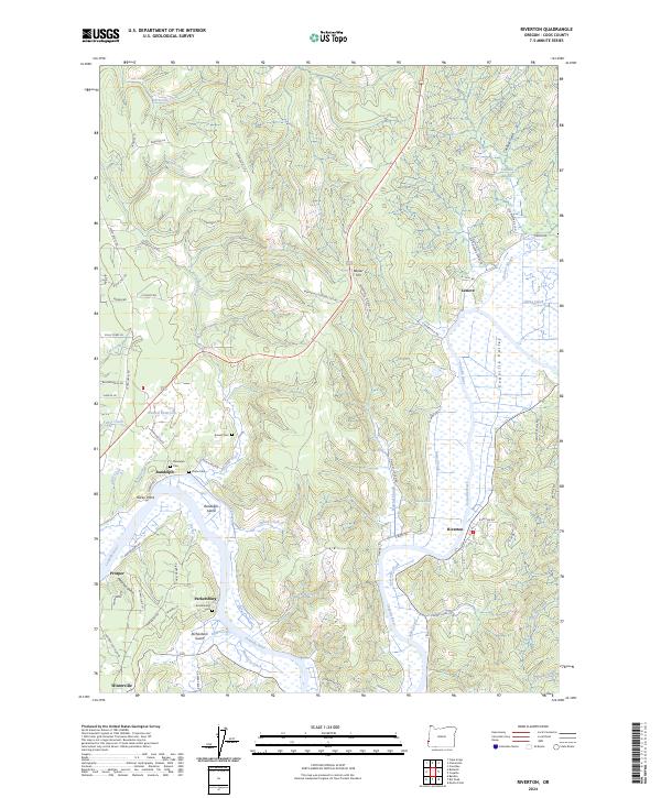
2024 Map of Riverton
USGS Topo · Published 2024About this map
The Coquille River defines the landscape of this coastal Oregon quadrangle, winding through the broad Coquille Valley where it is joined by several complex drainage systems including Beaver Slough and Iowa Slough. The area's settlement history is evident in the cluster of riverside and hillside communities such as Riverton, Randolph, and Parkersburg. These locations, many established during the region's timber and coal booms, are marked by family-named landmarks and small burial grounds including Kronenberg Cem and Russell Cem.
Find a feature on this map
82 named features on this map. Tap any name to fly to it.
Don’t see what you’re looking for? This feature index may not catch every label — zoom into the map to look around manually.
Map Details
Editions of this 2024 Riverton Map
This is the sole edition of this map. No revisions or reprints were ever made.
Other maps of this area

1896 · Coos Bay
USGS Topo · 1:125,000

1898 · Coos Bay
USGS Topo · 1:125,000

1900 · Coos Bay
USGS Topo · 1:125,000

1942 · Empire
USGS Topo · 1:62,500

1942 · Coquille
USGS Topo · 1:62,500

1942 · Coos Bay
USGS Topo · 1:62,500

1943 · Bandon
USGS Topo · 1:62,500

1944 · Empire
USGS Topo · 1:62,500

1944 · Bandon
USGS Topo · 1:62,500

1945 · Coquille
USGS Topo · 1:62,500