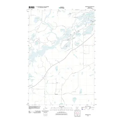
2010 Map of Riverton
USGS Topo · Published 2010About this map
Riverton sits at the heart of this iron-rich landscape, surrounded by an extensive network of extractive operations that have shaped the Crow Wing County terrain. The concentration of mining activity is evident in the cluster of sites like the Sagamore Mine, Rowe Mine, and Snoshoe Mine bordering the town. This 2010 industrial geography highlights how the regional economy utilized the proximity to the Mississippi River and the Rabbit River to manage the heavy demands of ore production.
Find a feature on this map
69 named features on this map. Tap any name to fly to it.
Don’t see what you’re looking for? This feature index may not catch every label — zoom into the map to look around manually.
Map Details
Editions of this 2010 Riverton Map
This is the sole edition of this map. No revisions or reprints were ever made.
Other maps of this area

1912 · Deerwood
USGS Topo · 1:62,500

1913 · Cuyuna
USGS Topo · 1:62,500

1914 · Deerwood
USGS Topo · 1:62,500

1915 · Cuyuna
USGS Topo · 1:62,500

1915 · Brainerd
USGS Topo · 1:62,500

1918 · Brainerd
USGS Topo · 1:62,500

1953 · Duluth
USGS Topo · 1:250,000

1953 · Brainerd
USGS Topo · 1:250,000

1957 · Brainerd
USGS Topo · 1:250,000

1958 · Brainerd
USGS Topo · 1:250,000