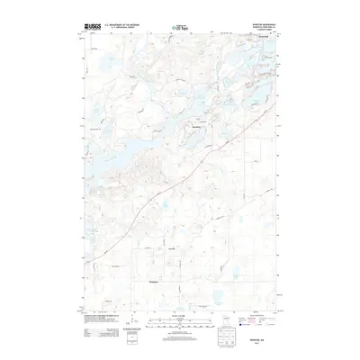
2013 Map of Riverton
USGS Topo · Published 2013About this map
The Mississippi River winds through the western edge of this Crow Wing County landscape, anchoring a region defined by an intricate network of glacial lakes and small settlements. The community of Riverton sits centrally, positioned near the southern shore of Little Rabbit Lake and the winding Rabbit River. To the south and east, the map details the rural character of areas like Loerch and Woodrow, where smaller water bodies such as Hoppy Lake and Twin Island Lake dot the terrain. The presence of MN-210 provides a primary transit corridor, cutting diagonally across the map and connecting these residential clusters. Along the northern border, the town of Trommald marks the edge of a lake-heavy district including Menomin Lake and June Lake. This survey illustrates a post-industrial landscape where local roads like Sagamore Rd and Dullum Rd navigate a complex geography of wetlands and tributaries like Sand Cr and Hay Cr.
Find a feature on this map
54 named features on this map. Tap any name to fly to it.
Don’t see what you’re looking for? This feature index may not catch every label — zoom into the map to look around manually.
Map Details
Editions of this 2013 Riverton Map
This is the sole edition of this map. No revisions or reprints were ever made.
Other maps of this area

1912 · Deerwood
USGS Topo · 1:62,500

1913 · Cuyuna
USGS Topo · 1:62,500

1914 · Deerwood
USGS Topo · 1:62,500

1915 · Cuyuna
USGS Topo · 1:62,500

1915 · Brainerd
USGS Topo · 1:62,500

1918 · Brainerd
USGS Topo · 1:62,500

1953 · Duluth
USGS Topo · 1:250,000

1953 · Brainerd
USGS Topo · 1:250,000

1957 · Brainerd
USGS Topo · 1:250,000

1958 · Brainerd
USGS Topo · 1:250,000