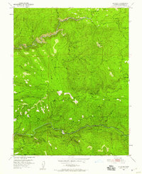
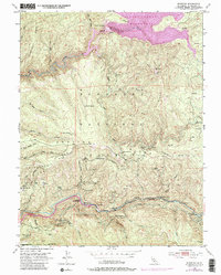
1950 Map of Riverton
USGS Topo · Published 1958About this map
The South Fork American River corridor serves as the primary artery for settlement and infrastructure within the Eldorado National Forest during the mid-century. Small outposts and residential sites like Riverton and White Hall are tucked into the steep river valley, while a series of utility-oriented settlements including Ditch Camp Two, Ditch Camp Three, and Ditch Camp Four follow the rugged terrain. These camps, along with the Big Bend Sch, suggest a landscape defined by forest management and water resource maintenance.
Find a feature on this map
52 named features on this map. Tap any name to fly to it.
Don’t see what you’re looking for? This feature index may not catch every label — zoom into the map to look around manually.
Map Details
Editions of this 1950 Riverton Map
6 editions found
Other maps of this area

1889 · Pyramid Peak
USGS Topo · 1:125,000

1891 · Placerville
USGS Topo · 1:125,000

1891 · Pyramid Peak
USGS Topo · 1:125,000

1892 · Placerville
USGS Topo · 1:125,000

1893 · Placerville
USGS Topo · 1:125,000

1895 · Pyramid Peak
USGS Topo · 1:125,000

1896 · Pyramid Peak
USGS Topo · 1:125,000

1947 · Sacramento
USGS Topo · 1:250,000

1948 · Sacramento
USGS Topo · 1:250,000

1950 · Riverton
USGS Topo · 1:24,000