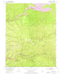
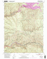
1950 Map of Riverton
USGS Topo · Published 1975About this map
The American River South Fork carves through the heart of this mid-century mountain landscape, anchored by the riverside settlements of Riverton and White Hall. These outposts reflect the region's historical reliance on the river corridor for transit and small-scale industry, evidenced by the nearby Big Bend Sch and a Sawmill. The ruggedness of the Eldorado National Forest is punctuated by family-named landmarks and homestead sites such as McConnel Place, Potts Cabin, and Short Place, suggesting a legacy of seasonal residency and forest management.
Find a feature on this map
52 named features on this map. Tap any name to fly to it.
Don’t see what you’re looking for? This feature index may not catch every label — zoom into the map to look around manually.
Map Details
Editions of this 1950 Riverton Map
6 editions found
Other maps of this area

1889 · Pyramid Peak
USGS Topo · 1:125,000

1891 · Placerville
USGS Topo · 1:125,000

1891 · Pyramid Peak
USGS Topo · 1:125,000

1892 · Placerville
USGS Topo · 1:125,000

1893 · Placerville
USGS Topo · 1:125,000

1895 · Pyramid Peak
USGS Topo · 1:125,000

1896 · Pyramid Peak
USGS Topo · 1:125,000

1947 · Sacramento
USGS Topo · 1:250,000

1948 · Sacramento
USGS Topo · 1:250,000

1950 · Riverton
USGS Topo · 1:24,000