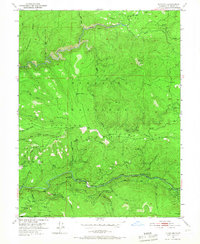
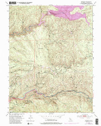
1950 Map of Riverton
USGS Topo · Published 1967About this map
South Fork American River carved the deep canyons of this mid-century Sierra Nevada landscape, where local life was anchored by the logging and forest service infrastructure. The settlement of Riverton and the nearby White Hall serve as focal points along the river valley, supported by the Big Bend Sch and various forest camps like Maple Grove Camp Ground. This era shows a working forest defined by resource extraction and early recreation, evidenced by the Sawmill, a Quarry, and several Gravel Pits scattered near the water courses.
Find a feature on this map
53 named features on this map. Tap any name to fly to it.
Don’t see what you’re looking for? This feature index may not catch every label — zoom into the map to look around manually.
Map Details
Editions of this 1950 Riverton Map
6 editions found
Other maps of this area

1889 · Pyramid Peak
USGS Topo · 1:125,000

1891 · Placerville
USGS Topo · 1:125,000

1891 · Pyramid Peak
USGS Topo · 1:125,000

1892 · Placerville
USGS Topo · 1:125,000

1893 · Placerville
USGS Topo · 1:125,000

1895 · Pyramid Peak
USGS Topo · 1:125,000

1896 · Pyramid Peak
USGS Topo · 1:125,000

1947 · Sacramento
USGS Topo · 1:250,000

1948 · Sacramento
USGS Topo · 1:250,000

1950 · Riverton
USGS Topo · 1:24,000