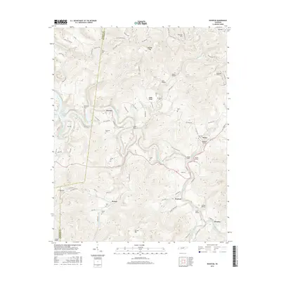
2016 Map of Riverton
USGS Topo · Published 2016About this map
The East Fork Obey River carves a deep, winding path through this portion of Fentress County, where the settlements of Riverton, Little Crab, and Helena are perched among the high ridges and hollows. The landscape is defined by its dramatic relief, featuring prominent peaks such as Skinner Mtn and Double Top, and numerous narrow drainages like Big Indian Cr and Little Crab Cr.
Find a feature on this map
89 named features on this map. Tap any name to fly to it.
Don’t see what you’re looking for? This feature index may not catch every label — zoom into the map to look around manually.
Map Details
Editions of this 2016 Riverton Map
This is the sole edition of this map. No revisions or reprints were ever made.
Other maps of this area

1895 · Wartburg
USGS Topo · 1:125,000

1896 · Wartburg
USGS Topo · 1:125,000

1897 · Standingstone
USGS Topo · 1:125,000

1898 · Standingstone
USGS Topo · 1:125,000

1929 · Byrdstown
USGS Topo · 1:62,500

1934 · Pall Mall
USGS Topo · 1:62,500

1954 · Crawford
USGS Topo · 1:24,000

1954 · Jamestown
USGS Topo · 1:24,000

1954 · Grimsley
USGS Topo · 1:24,000
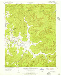
1954 · Pall Mall
USGS Topo · 1:24,000