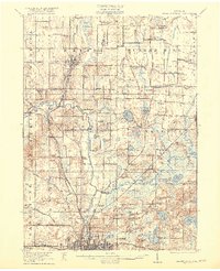
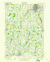
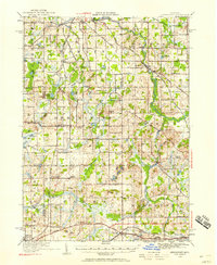
1921 Map of Rives Junction
USGS Topo · Published 1921About this map
Grand River and its numerous tributaries dominate this northern Jackson County landscape, weaving through a dense network of early 20th-century rural schoolhouses and country churches. The area is characterized by its glacial hydrology, featuring dozens of named water bodies like Huntoon Lake, Pleasant Lake, and the expansive Big Swamp. Settlement patterns follow the Michigan Central Railroad and the Electric Highway, with Rives Junction and Leslie serving as primary hubs of activity. One notable insight is the sheer density of local educational infrastructure, with dozens of numbered and family-named schools such as Sanders School and Bachelor School spaced at regular intervals for the farming community. Further south, the map captures the northern outskirts of Jackson, including the County Infirmary and recreation spots like The Cove on Gillett Lake.
Find a feature on this map
106 named features on this map. Tap any name to fly to it.
Don’t see what you’re looking for? This feature index may not catch every label — zoom into the map to look around manually.
Map Details
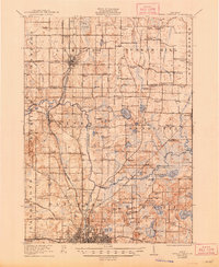
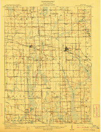
Editions of this 1921 Rives Junction Map
3 editions found
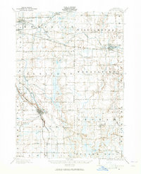
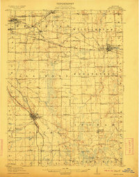
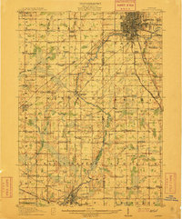
Other maps of this area

1908 · Fowlerville
USGS Topo · 1:62,500
1909 · Mason
USGS Topo · 1:62,500
1910 · Fowlerville
USGS Topo · 1:62,500
1910 · Lansing
USGS Topo · 1:62,500
1911 · Mason
USGS Topo · 1:62,500
1912 · Lansing
USGS Topo · 1:62,500
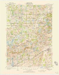
1919 · Stockbridge
USGS Topo · 1:62,500
1919 · Springport
USGS Topo · 1:62,500

1919 · Rives Junction
USGS Topo · 1:62,500
1921 · Rives Junction
USGS Topo · 1:62,500