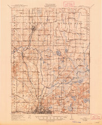
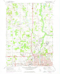
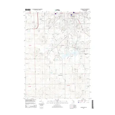
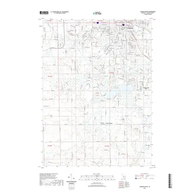
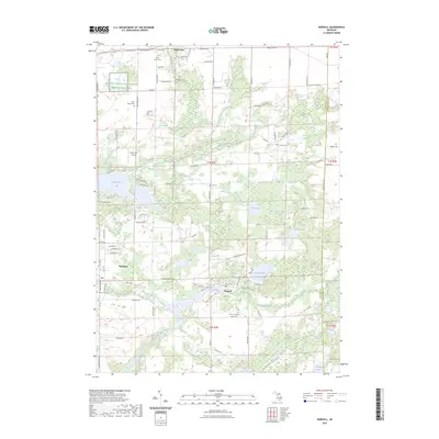
1921 Map of Rives Junction
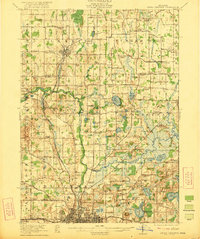
USGS Topo · Published 1948About this map
The Grand River and Portage River snake through a landscape defined by small farming hamlets and a dense network of country schools during the early 1920s. Centered on Rives Junction, the map shows a rural economy supported by the Michigan Central railroad and numerous smaller settlements like Leslie, Fitchburg, and Munith. Local life is anchored by institutions such as the Bunker Hill Chapel, Zion Church, and the County Infirmary south of Sandstone Creek.
Find a feature on this map
112 named features on this map. Tap any name to fly to it.
Don’t see what you’re looking for? This feature index may not catch every label — zoom into the map to look around manually.
Map Details
Editions of this 1921 Rives Junction Map
3 editions found
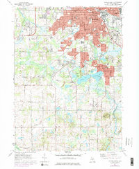
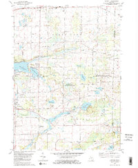
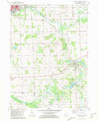
Historical Maps of Jackson Through Time
38 maps found

1919 Rives Junction
Jackson County, MI
1921 Rives Junction
Jackson County, MI
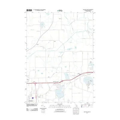
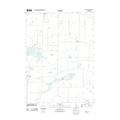
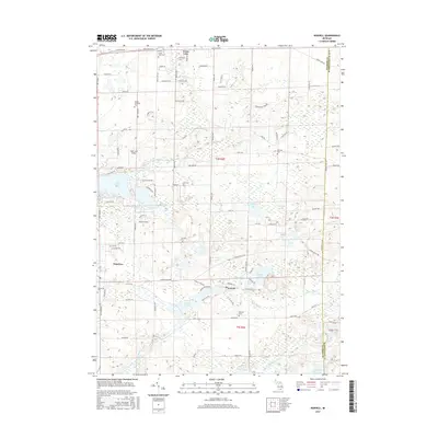
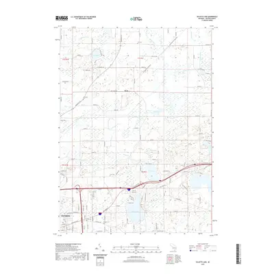
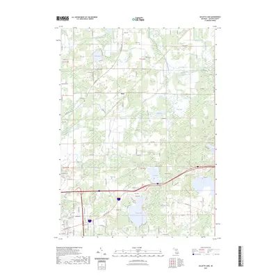
1970 Gilletts Lake
Jackson County, MI
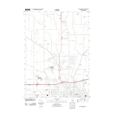
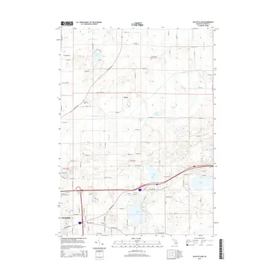
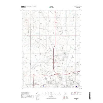
1970 Jackson North
Jackson County, MI
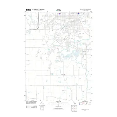
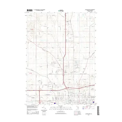
1971 Jackson South
Jackson County, MI
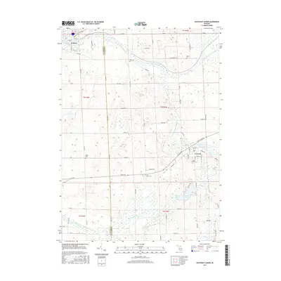
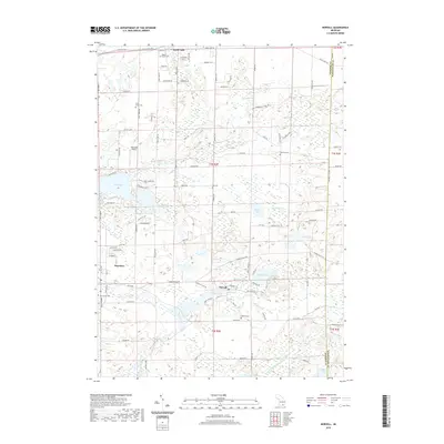
1980 Norvell
Jackson County, MI

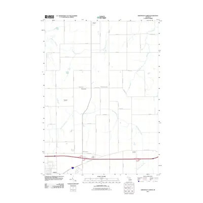
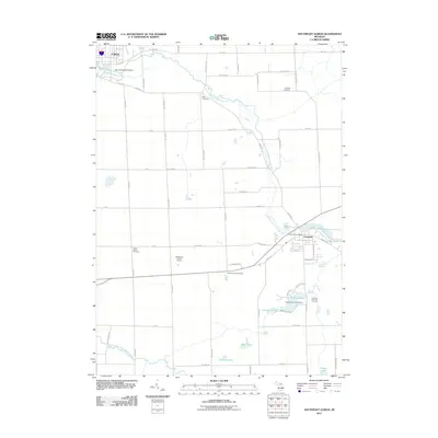
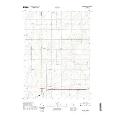
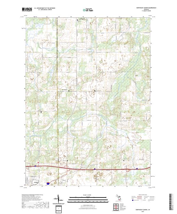
1981 Northeast Albion
Jackson County, MI
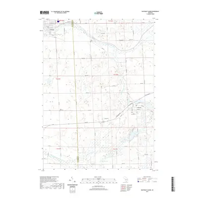
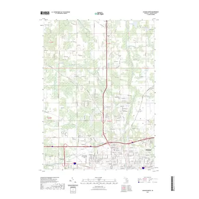
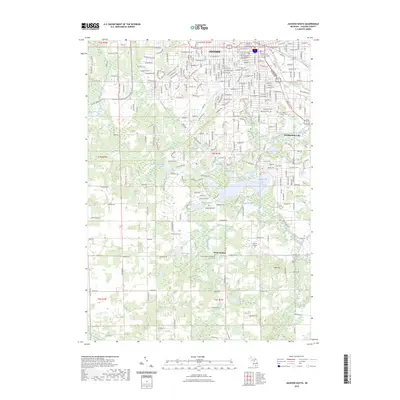
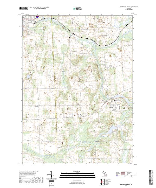
1981 Southeast Albion
Jackson County, MI
2011 Gilletts Lake
Jackson County, MI
2011 Jackson North
Jackson County, MI
2011 Jackson South
Jackson County, MI
2011 Northeast Albion
Jackson County, MI
2011 Norvell
Jackson County, MI
2011 Southeast Albion
Jackson County, MI
2014 Gilletts Lake
Jackson County, MI
2014 Jackson North
Jackson County, MI
2014 Jackson South
Jackson County, MI
2014 Northeast Albion
Jackson County, MI
2014 Norvell
Jackson County, MI
2014 Southeast Albion
Jackson County, MI
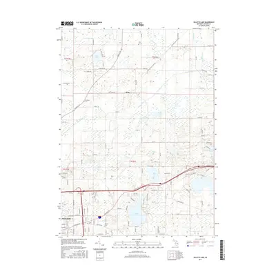
2017 Gilletts Lake
Jackson County, MI
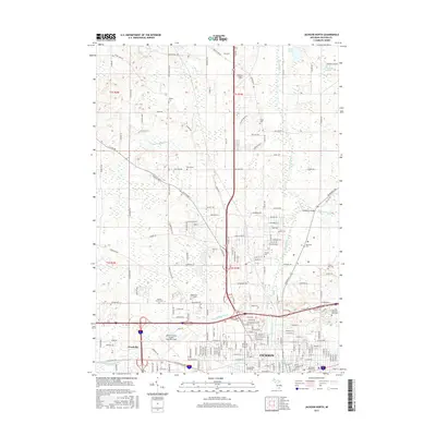
2017 Jackson North
Jackson County, MI
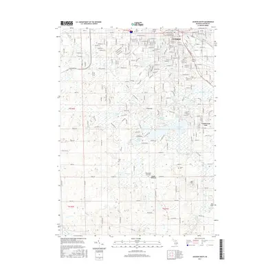
2017 Jackson South
Jackson County, MI
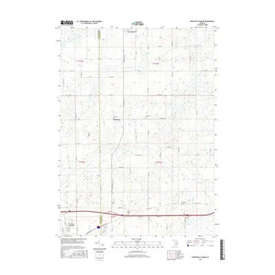
2017 Northeast Albion
Jackson County, MI
2017 Norvell
Jackson County, MI
2017 Southeast Albion
Jackson County, MI
2019 Gilletts Lake
Jackson County, MI
2019 Jackson North
Jackson County, MI
2019 Jackson South
Jackson County, MI
2019 Northeast Albion
Jackson County, MI
2019 Norvell
Jackson County, MI
2019 Southeast Albion
Jackson County, MI
2023 Gilletts Lake
Jackson County, MI
2023 Jackson North
Jackson County, MI
2023 Jackson South
Jackson County, MI
2023 Northeast Albion
Jackson County, MI
2023 Norvell
Jackson County, MI
2023 Southeast Albion
Jackson County, MI