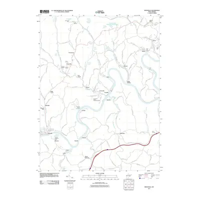
2011 Map of Rivesville
USGS Topo · Published 2011About this map
The Monongahela River winds through this region of West Virginia, serving as a central corridor for a string of industrial and residential settlements. The map highlights the intersection of natural resources and infrastructure, featuring significant land use markers like the Everettville Refuse Embankment Dam and the Loar Acid Mine Drainage Treatment Lake. Small communities such as Arnettsville, Booth, and Everettville are dispersed along the river valleys and ridge lines, often centered around local services like the Booth Post Office or Montana Mines Post Office.
Find a feature on this map
137 named features on this map. Tap any name to fly to it.
Don’t see what you’re looking for? This feature index may not catch every label — zoom into the map to look around manually.
Map Details
Editions of this 2011 Rivesville Map
This is the sole edition of this map. No revisions or reprints were ever made.
Other maps of this area

1886 · St. George
USGS Topo · 1:125,000

1891 · St. George
USGS Topo · 1:125,000

1902 · Fairmont
USGS Topo · 1:62,500

1902 · Morgantown
USGS Topo · 1:62,500

1904 · Blacksville
USGS Topo · 1:62,500

1907 · Thornton
USGS Topo · 1:62,500

1923 · Blacksville
USGS Topo · 1:62,500

1923 · Fairmont
USGS Topo · 1:62,500

1925 · Blacksville
USGS Topo · 1:62,500

1925 · Morgantown
USGS Topo · 1:62,500