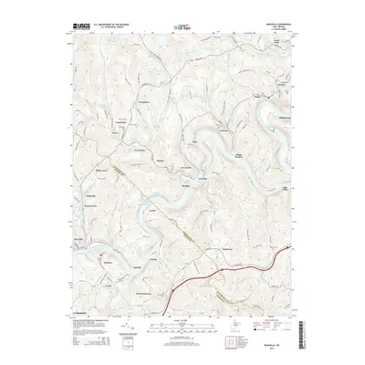
2014 Map of Rivesville
USGS Topo · Published 2014About this map
The Monongahela River carves a deep path through the northern West Virginia hills, anchoring a landscape shaped by coal and industry near the Monongahela Railway. This 2014 survey captures the region south of Fairmont as it balances industrial legacies with rural communities. The map highlights significant environmental and industrial features, such as the Consol Number 93 Impoundment, the Arkwright Mine and Pond, and the Loar Acid Mine Drainage Treatment Lake.
Find a feature on this map
152 named features on this map. Tap any name to fly to it.
Don’t see what you’re looking for? This feature index may not catch every label — zoom into the map to look around manually.
Map Details
Editions of this 2014 Rivesville Map
This is the sole edition of this map. No revisions or reprints were ever made.
Other maps of this area

1886 · St. George
USGS Topo · 1:125,000

1891 · St. George
USGS Topo · 1:125,000

1902 · Fairmont
USGS Topo · 1:62,500

1902 · Morgantown
USGS Topo · 1:62,500

1904 · Blacksville
USGS Topo · 1:62,500

1907 · Thornton
USGS Topo · 1:62,500

1923 · Blacksville
USGS Topo · 1:62,500

1923 · Fairmont
USGS Topo · 1:62,500

1925 · Blacksville
USGS Topo · 1:62,500

1925 · Morgantown
USGS Topo · 1:62,500