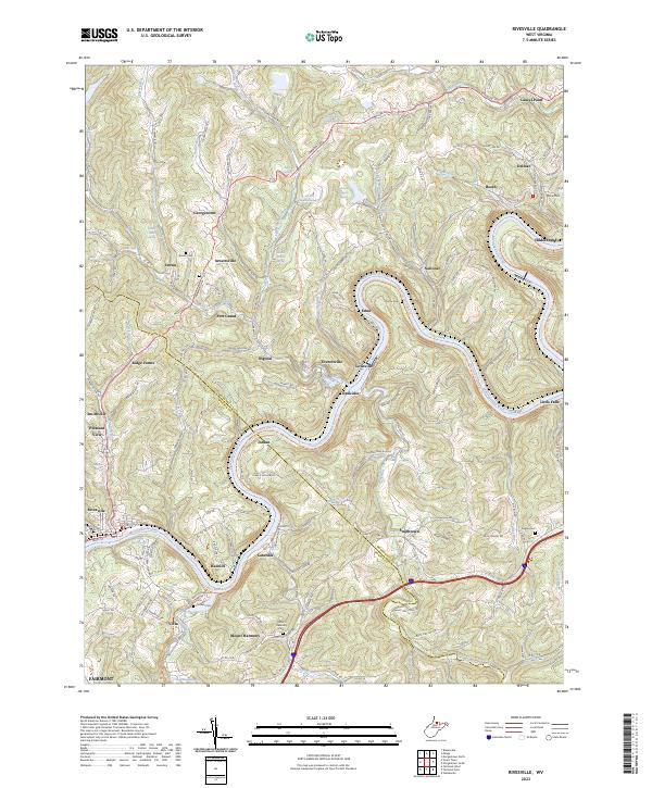
2023 Map of Rivesville
USGS Topo · Published 2023About this map
The Monongahela River carves a deep valley through this West Virginia landscape, serving as the central artery for industry and transport. Along its banks, the Mon River South Rail-Trl and Morgantown South Rail-Trl now trace the historic paths of former industrial rail corridors. The area is defined by numerous small settlements like Arnettsville, Everettville, and Rivesville, which grew around the regional extraction and river economies.
Find a feature on this map
77 named features on this map. Tap any name to fly to it.
Don’t see what you’re looking for? This feature index may not catch every label — zoom into the map to look around manually.
Map Details
Editions of this 2023 Rivesville Map
This is the sole edition of this map. No revisions or reprints were ever made.
Other maps of this area

1886 · St. George
USGS Topo · 1:125,000

1891 · St. George
USGS Topo · 1:125,000

1902 · Fairmont
USGS Topo · 1:62,500

1902 · Morgantown
USGS Topo · 1:62,500

1904 · Blacksville
USGS Topo · 1:62,500

1907 · Thornton
USGS Topo · 1:62,500

1923 · Blacksville
USGS Topo · 1:62,500

1923 · Fairmont
USGS Topo · 1:62,500

1925 · Blacksville
USGS Topo · 1:62,500

1925 · Morgantown
USGS Topo · 1:62,500