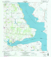
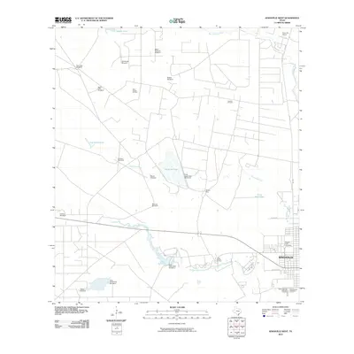
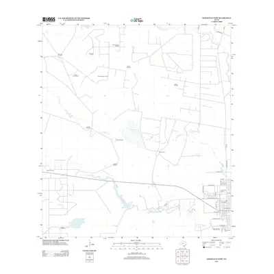
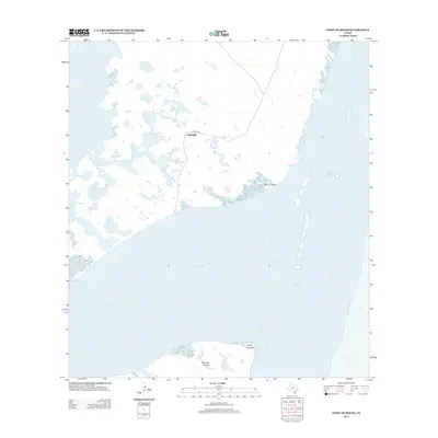
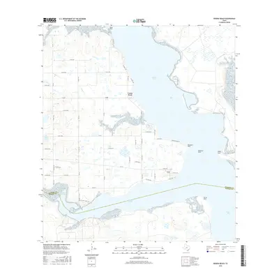
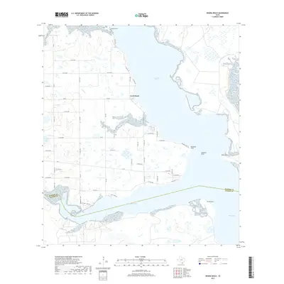
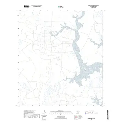
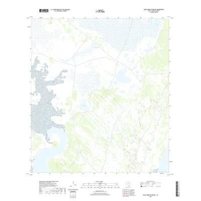
2022 Map of Riviera Beach
USGS Topo · Published 2022About this map
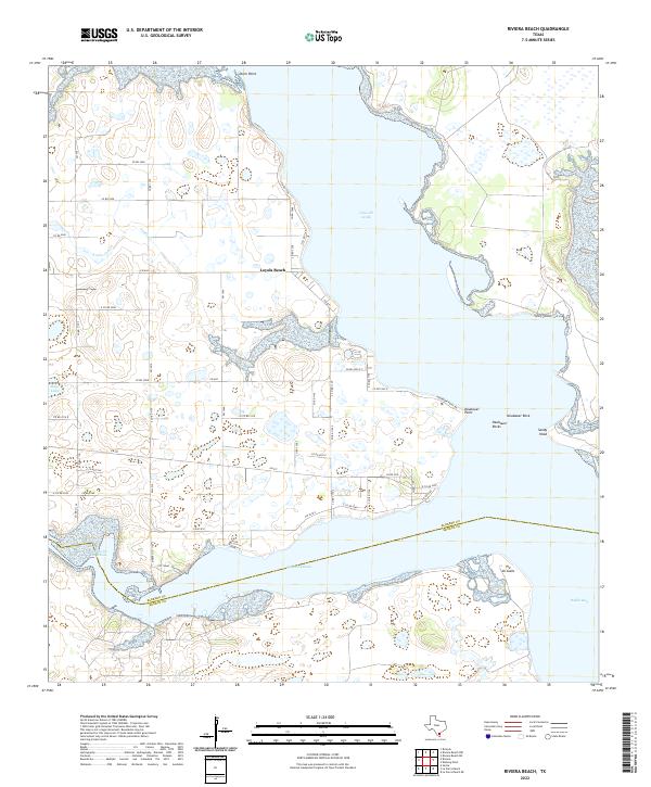
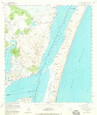
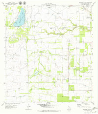
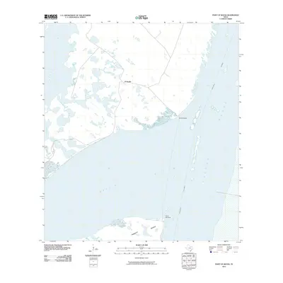
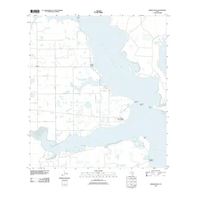
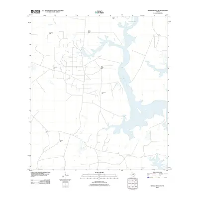
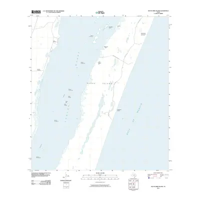
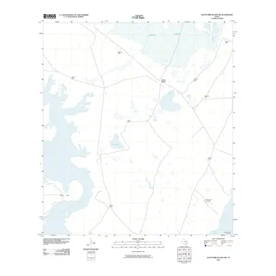
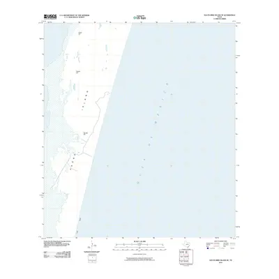
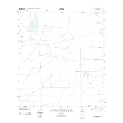
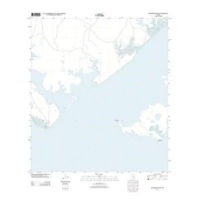
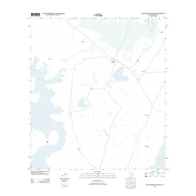
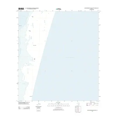
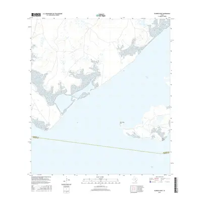
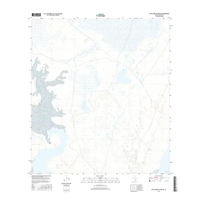
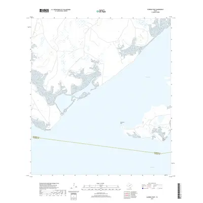
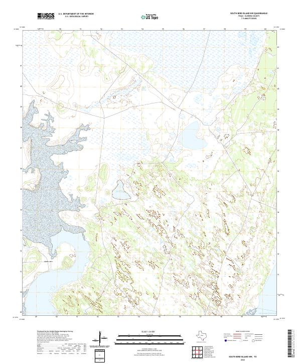
Cayo del Grullo and Baffin Bay dominate this coastal landscape, where the brackish waters meet the low-lying terrain of South Texas. The settlement at Loyola Beach serves as a focal point along the western shore, positioned near where the waters of Araña Creek flow into the bay. The map reveals a complex network of coastal features, from the prominent Neubauer Point and the submerged hazards of Neubauer Rocks to the southern reaches of Laguna Salada. The landscape is defined by its transition from prairie to wetlands, punctuated by small bodies of water like Hays Lake and Laguna De Los Olmos. Historically, this area marks the boundary between Kleberg and Kenedy counties, a line that cuts through the southern bay waters. The road network, including FM 771 and FM 628, underscores the region's connection to the interior while maintaining its coastal orientation near Drum Point and Sandy Hook.
Find a feature on this map
56 named features on this map. Tap any name to fly to it.
Don’t see what you’re looking for? This feature index may not catch every label — zoom into the map to look around manually.
Map Details
Editions of this 2022 Riviera Beach Map
This is the sole edition of this map. No revisions or reprints were ever made.
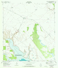
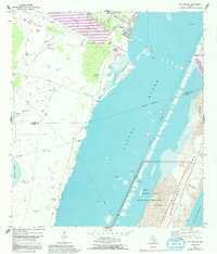
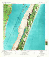
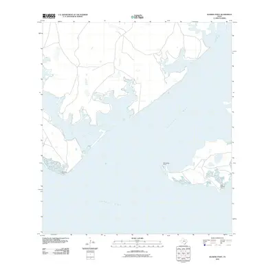
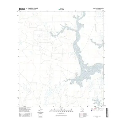
Historical Maps of La Parra Landing Through Time
78 maps found
1951 Kleberg Point
Kleberg County, TX

1951 Point Of Rocks
Kleberg County, TX
1951 Riviera Beach NE
Kleberg County, TX
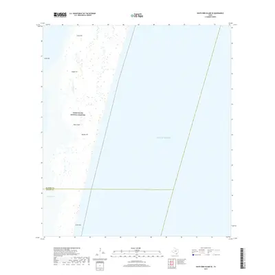
1951 South Bird Island
Kleberg County, TX
1951 South Bird Island
Kleberg County, TX
1951 South Bird Island NW
Kleberg County, TX
1951 South Bird Island SE
Kleberg County, TX
1952 Riviera Beach
Kleberg County, TX
1952 Riviera Beach
Kleberg County, TX
1952 Riviera Beach NW
Kleberg County, TX
1969 Pita Island
Kleberg County, TX
1969 South Bird Island
Kleberg County, TX
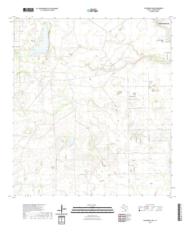
1979 Escondido Lake
Kleberg County, TX
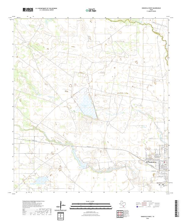
1979 Kingsville West
Kleberg County, TX
1979 Paisano Lake
Kleberg County, TX
2010 Escondido Lake
Kleberg County, TX
2010 Kingsville West
Kleberg County, TX
2010 Kleberg Point
Kleberg County, TX
2010 Paisano Lake
Kleberg County, TX
2010 Pita Island
Kleberg County, TX
2010 Point of Rocks
Kleberg County, TX
2010 Riviera Beach
Kleberg County, TX
2010 Riviera Beach NE
Kleberg County, TX
2010 Riviera Beach NW
Kleberg County, TX
2010 South Bird Island
Kleberg County, TX
2010 South Bird Island NW
Kleberg County, TX
2010 South Bird Island SE
Kleberg County, TX
2013 Escondido Lake
Kleberg County, TX
2013 Kingsville West
Kleberg County, TX
2013 Kleberg Point
Kleberg County, TX
2013 Paisano Lake
Kleberg County, TX
2013 Pita Island
Kleberg County, TX
2013 Point of Rocks
Kleberg County, TX
2013 Riviera Beach
Kleberg County, TX
2013 Riviera Beach NE
Kleberg County, TX
2013 Riviera Beach NW
Kleberg County, TX

2013 South Bird Island
Kleberg County, TX
2013 South Bird Island NW
Kleberg County, TX
2013 South Bird Island SE
Kleberg County, TX
2016 Escondido Lake
Kleberg County, TX
2016 Kingsville West
Kleberg County, TX
2016 Kleberg Point
Kleberg County, TX
2016 Paisano Lake
Kleberg County, TX
2016 Pita Island
Kleberg County, TX
2016 Point of Rocks
Kleberg County, TX
2016 Riviera Beach
Kleberg County, TX
2016 Riviera Beach NE
Kleberg County, TX
2016 Riviera Beach NW
Kleberg County, TX
2016 South Bird Island
Kleberg County, TX
2016 South Bird Island NW
Kleberg County, TX
2016 South Bird Island SE
Kleberg County, TX
2019 Escondido Lake
Kleberg County, TX
2019 Kingsville West
Kleberg County, TX
2019 Kleberg Point
Kleberg County, TX
2019 Paisano Lake
Kleberg County, TX
2019 Pita Island
Kleberg County, TX
2019 Point of Rocks
Kleberg County, TX
2019 Riviera Beach
Kleberg County, TX
2019 Riviera Beach NE
Kleberg County, TX
2019 Riviera Beach NW
Kleberg County, TX
2019 South Bird Island
Kleberg County, TX
2019 South Bird Island NW
Kleberg County, TX
2019 South Bird Island SE
Kleberg County, TX
2022 Escondido Lake
Kleberg County, TX
2022 Kingsville West
Kleberg County, TX
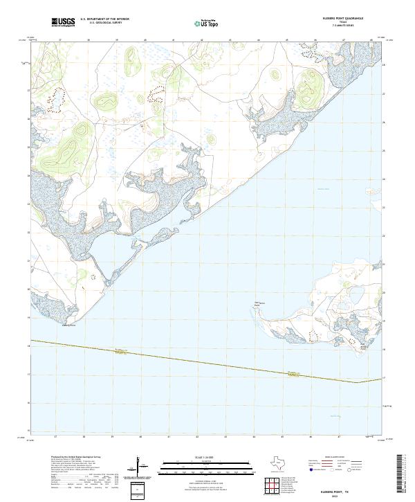
2022 Kleberg Point
Kleberg County, TX
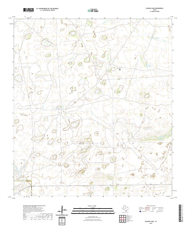
2022 Paisano Lake
Kleberg County, TX

2022 Pita Island
Kleberg County, TX
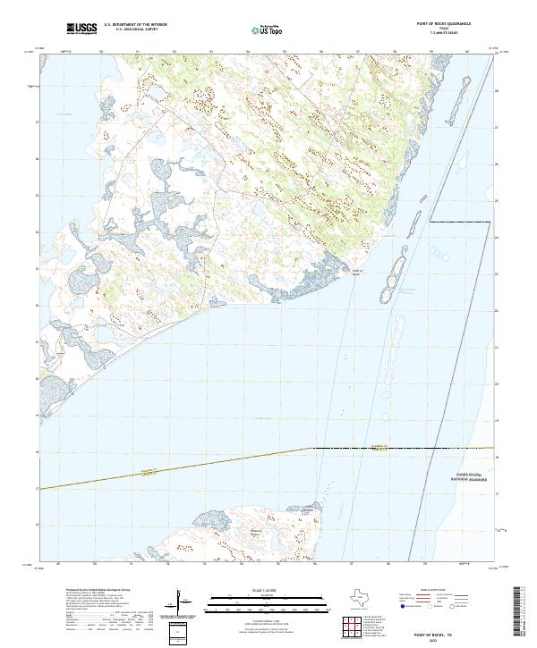
2022 Point of Rocks
Kleberg County, TX
2022 Riviera Beach
Kleberg County, TX
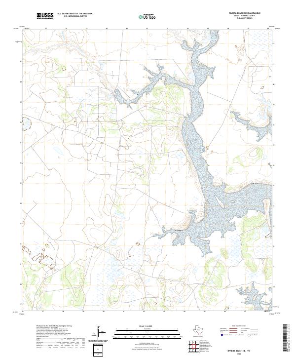
2022 Riviera Beach NE
Kleberg County, TX
2022 South Bird Island
Kleberg County, TX
2022 South Bird Island NW
Kleberg County, TX
2022 South Bird Island SE
Kleberg County, TX
2023 Riviera Beach NW
Kleberg County, TX
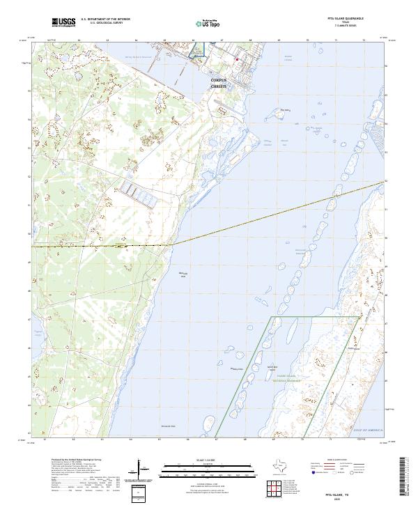
2025 Pita Island
Kleberg County, TX
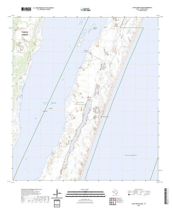
2025 South Bird Island
Kleberg County, TX
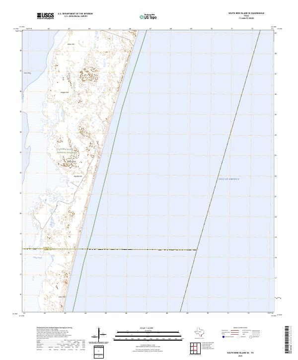
2025 South Bird Island SE
Kleberg County, TX