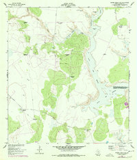
1951 Map of Riviera Beach NE
USGS Topo · Published 1978About this map
Jabonclillos Ranch anchors the southwestern portion of this coastal Texas landscape, where the seasonal movement of water across Sand and Mud Flats defines the geography. The map reveals an intricate hydraulic network essential for ranching in this arid environment, marked by numerous named windmills and water sources including Huisacha Well, Zacahuistle Well, and the Hinojosena Artesian Well.
Find a feature on this map
18 named features on this map. Tap any name to fly to it.
Don’t see what you’re looking for? This feature index may not catch every label — zoom into the map to look around manually.
Map Details
Editions of this 1951 Riviera Beach NE Map
3 editions found
Other maps of this area

1924 · Petronilla
USGS Topo · 1:62,500

1925 · Oso Creek
USGS Topo · 1:62,500

1928 · Sarita
USGS Topo · 1:125,000

1950 · Corpus Christi
USGS Topo · 1:250,000

1951 · South Bird Island NW
USGS Topo · 1:24,000

1951 · Point Of Rocks
USGS Topo · 1:24,000

1951 · Kleberg Point
USGS Topo · 1:24,000

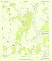
1951 · Riviera Beach NE
USGS Topo · 1:24,000

1951 · Oso Creek
USGS Topo · 1:62,500

1951 · South Bird Island
USGS Topo · 1:62,500