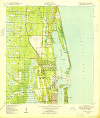
1949 Map of Riviera Beach
USGS Topo · Published 1949About this map
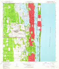
Lake Worth and the barrier islands of the Florida coast dominate this post-war landscape as it transitioned into a major resort and residential corridor. The established street grids of Lake Park and Riviera Beach are flanked by the Florida East Coast and Seaboard Air Line railroads, which facilitated the region's rapid growth. Along the waterfront, the Intracoastal Waterway threads behind Singers Island and Munyon I, connecting to the Atlantic Ocean via the Lake Worth Inlet.
Find a feature on this map
27 named features on this map. Tap any name to fly to it.
Don’t see what you’re looking for? This feature index may not catch every label — zoom into the map to look around manually.
Map Details
Editions of this 1949 Riviera Beach Map
This is the sole edition of this map. No revisions or reprints were ever made.
Other maps of this area
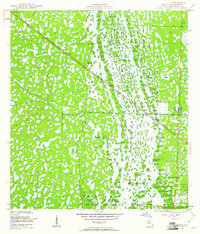
1945 · Delta
USGS Topo · 1:24,000
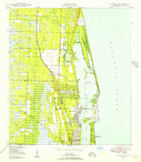
1946 · Riviera Beach
USGS Topo · 1:24,000
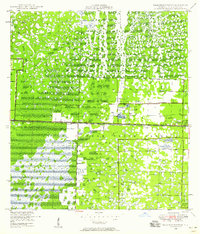
1946 · Palm Beach Farms
USGS Topo · 1:24,000
1946 · Palm Beach
USGS Topo · 1:24,000
1948 · Rood
USGS Topo · 1:24,000
1948 · Jupiter
USGS Topo · 1:24,000
1949 · Rood
USGS Topo · 1:24,000
1949 · Palm Beach Farms
USGS Topo · 1:24,000
1950 · Jupiter
USGS Topo · 1:24,000
1950 · Delta
USGS Topo · 1:24,000