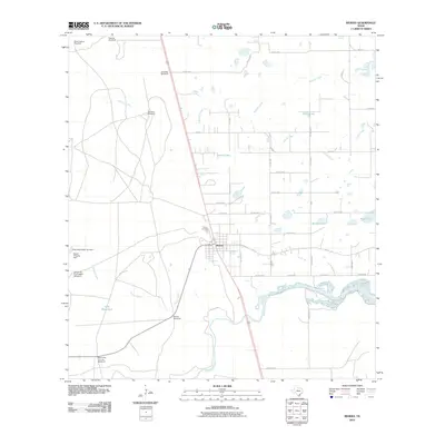
2010 Map of Riviera
USGS Topo · Published 2010About this map
Riviera serves as the central hub of this coastal South Texas landscape, situated along a network of county roads and the main highway corridor. The surrounding terrain is defined by an extensive ranching infrastructure, evidenced by numerous named water sources and landmarks like Mota Corpus Windmill, Palanca Windmill, and the Seth Waterhole. These features underscore the historical importance of water management in this environment. To the west, the King Ranch Dam Number 1 and Falcon Chiquita Dam indicate larger-scale water control efforts.
Find a feature on this map
44 named features on this map. Tap any name to fly to it.
Don’t see what you’re looking for? This feature index may not catch every label — zoom into the map to look around manually.
Map Details
Editions of this 2010 Riviera Map
This is the sole edition of this map. No revisions or reprints were ever made.
Other maps of this area

1928 · Sarita
USGS Topo · 1:125,000

1950 · Corpus Christi
USGS Topo · 1:250,000

1952 · Riviera Beach
USGS Topo · 1:24,000

1952 · La Parra Ranch
USGS Topo · 1:24,000

1952 · Riviera Beach NW
USGS Topo · 1:24,000

1952 · Riviera Beach
USGS Topo · 1:62,500

1954 · Sarita
USGS Topo · 1:62,500

1954 · Riviera
USGS Topo · 1:62,500
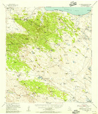
1955 · La Parra Ranch
USGS Topo · 1:62,500

1956 · Corpus Christi
USGS Topo · 1:250,000