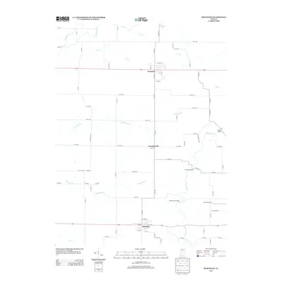
2013 Map of Roachdale
USGS Topo · Published 2013About this map
Roachdale and Bainbridge serve as the primary hubs in this portion of Putnam County, Indiana, connected by a network of county roads and local drainages. The landscape is defined by the winding course of Big Walnut Cr, which is crossed by several named crossings including Rolling Stone Bridge, Pine Bluff Bridge, and Higgins Bridge. These specific bridge names suggest a long-standing local infrastructure designed to navigate the creek's varied path. Between these two larger settlements lies the smaller community of Carpentersville. The area maintains a rural, agricultural character, evidenced by the prevalence of named creeks like North Ramp Cr and South Ramp Cr, and specialized facilities such as Way West Airport and the distinctively named Way W Air Pork.
Find a feature on this map
75 named features on this map. Tap any name to fly to it.
Don’t see what you’re looking for? This feature index may not catch every label — zoom into the map to look around manually.
Map Details
Editions of this 2013 Roachdale Map
This is the sole edition of this map. No revisions or reprints were ever made.
Other maps of this area

1951 · Clinton Falls
USGS Topo · 1:24,000

1953 · Indianapolis
USGS Topo · 1:250,000

1955 · Russellville
USGS Topo · 1:24,000

1956 · Indianapolis
USGS Topo · 1:250,000

1956 · New Market
USGS Topo · 1:24,000

1957 · Indianapolis
USGS Topo · 1:250,000

1957 · New Ross
USGS Topo · 1:24,000

1958 · Roachdale
USGS Topo · 1:24,000

1958 · Ladoga
USGS Topo · 1:24,000

1958 · Coatesville
USGS Topo · 1:24,000