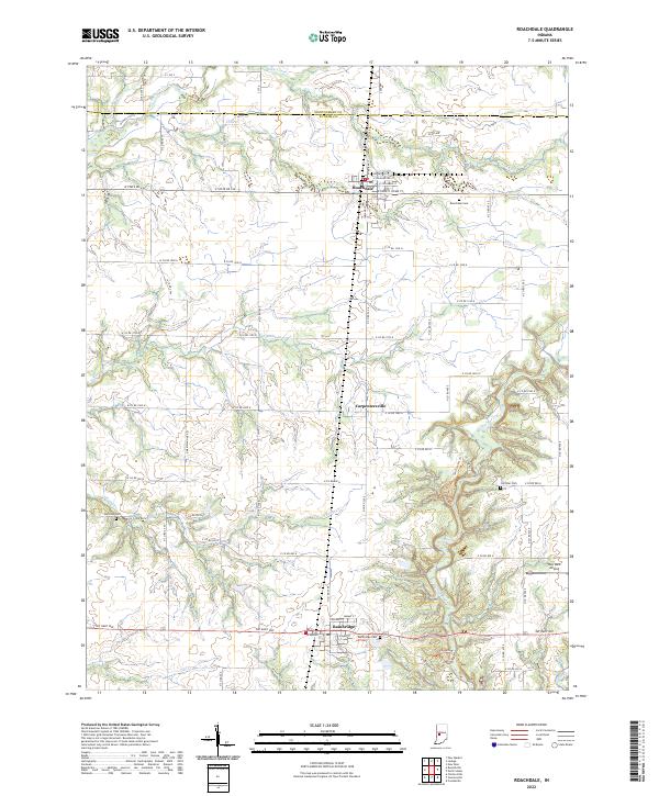
2022 Map of Roachdale
USGS Topo · Published 2022About this map
Roachdale serves as the northern anchor for this portion of Putnam County, sitting at a grid of historic streets including Railroad St and E Washington St. The landscape transitions from the agricultural plateaus in the north toward the increasingly dissected drainages of Big Walnut Creek and S Ramp Cr in the south. The village of Bainbridge is situated along Pat Rady Way, surrounded by natural features like the Hall Woods Nature Preserve Trl. Small community burial grounds, such as Hartman Cem and Coffman Cem, are found along the rural corridors connecting these settlements. The presence of Way West Airport and the nearby Carpentersville settlement area further illustrate the development of transport and community across this central Indiana terrain.
Find a feature on this map
59 named features on this map. Tap any name to fly to it.
Don’t see what you’re looking for? This feature index may not catch every label — zoom into the map to look around manually.
Map Details
Editions of this 2022 Roachdale Map
This is the sole edition of this map. No revisions or reprints were ever made.
Other maps of this area

1951 · Clinton Falls
USGS Topo · 1:24,000

1953 · Indianapolis
USGS Topo · 1:250,000

1955 · Russellville
USGS Topo · 1:24,000

1956 · Indianapolis
USGS Topo · 1:250,000

1956 · New Market
USGS Topo · 1:24,000

1957 · Indianapolis
USGS Topo · 1:250,000

1957 · New Ross
USGS Topo · 1:24,000

1958 · Roachdale
USGS Topo · 1:24,000

1958 · Ladoga
USGS Topo · 1:24,000

1958 · Coatesville
USGS Topo · 1:24,000