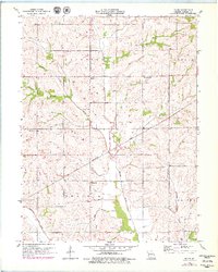
1957 Map of Roads
USGS Topo · Published 1979About this map
The small settlement of Roads sits at the intersection of Fairfield and Leslie townships, surrounded by a complex network of named stream branches that once defined the local geography of rural Carroll County. This mid-century landscape is marked by its community anchors, including Union Ch, Mt Carmel Ch, and Antioch Ch, which served the surrounding agricultural families. The Chicago Burlington and Quincy railroad cuts diagonally across the southern half of the map, illustrating the vital role of rail transport in connecting Missouri's farming districts to wider markets.
Find a feature on this map
23 named features on this map. Tap any name to fly to it.
Don’t see what you’re looking for? This feature index may not catch every label — zoom into the map to look around manually.
Map Details
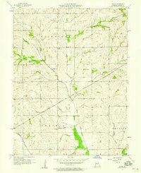
Editions of this 1957 Roads Map
2 editions found
Other maps of this area

1889 · Lexington
USGS Topo · 1:125,000

1924 · Dawn
USGS Topo · 1:62,500

1924 · Braymer
USGS Topo · 1:62,500

1950 · Coloma
USGS Topo · 1:24,000

1950 · Plymouth
USGS Topo · 1:24,000

1951 · Utica
USGS Topo · 1:62,500

1953 · Moberly
USGS Topo · 1:250,000

1954 · Moberly
USGS Topo · 1:250,000
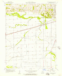
1956 · Carrollton West
USGS Topo · 1:24,000

1957 · Moberly
USGS Topo · 1:250,000